Funningur - Svínáir

  • funningur-2-jpg
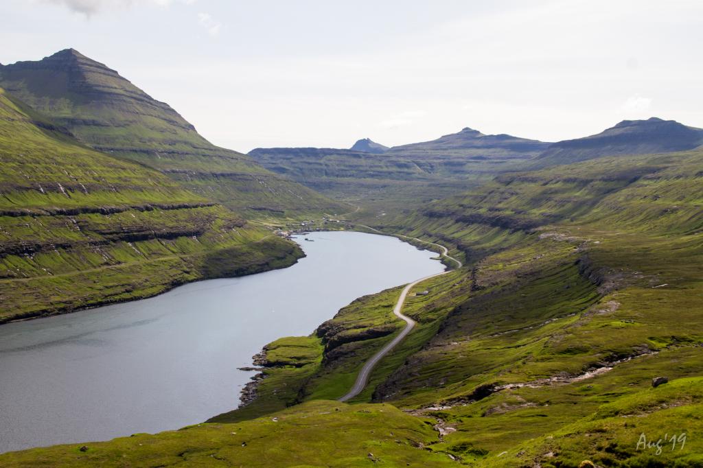
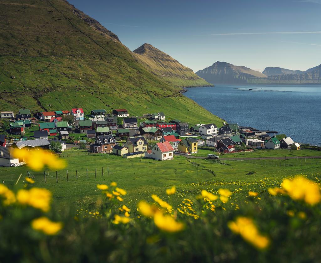
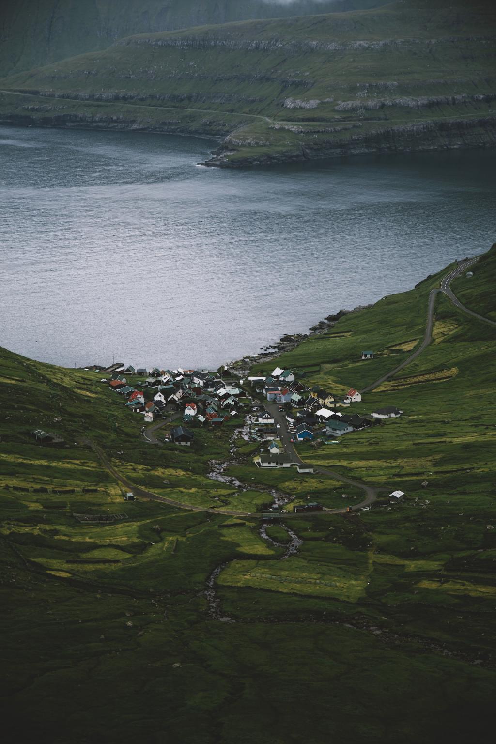
    The village of Funningur. Photo: @alexstelma
  • li-gar-shorn-funningur---sv-n-ir-115-img-0035-jpg
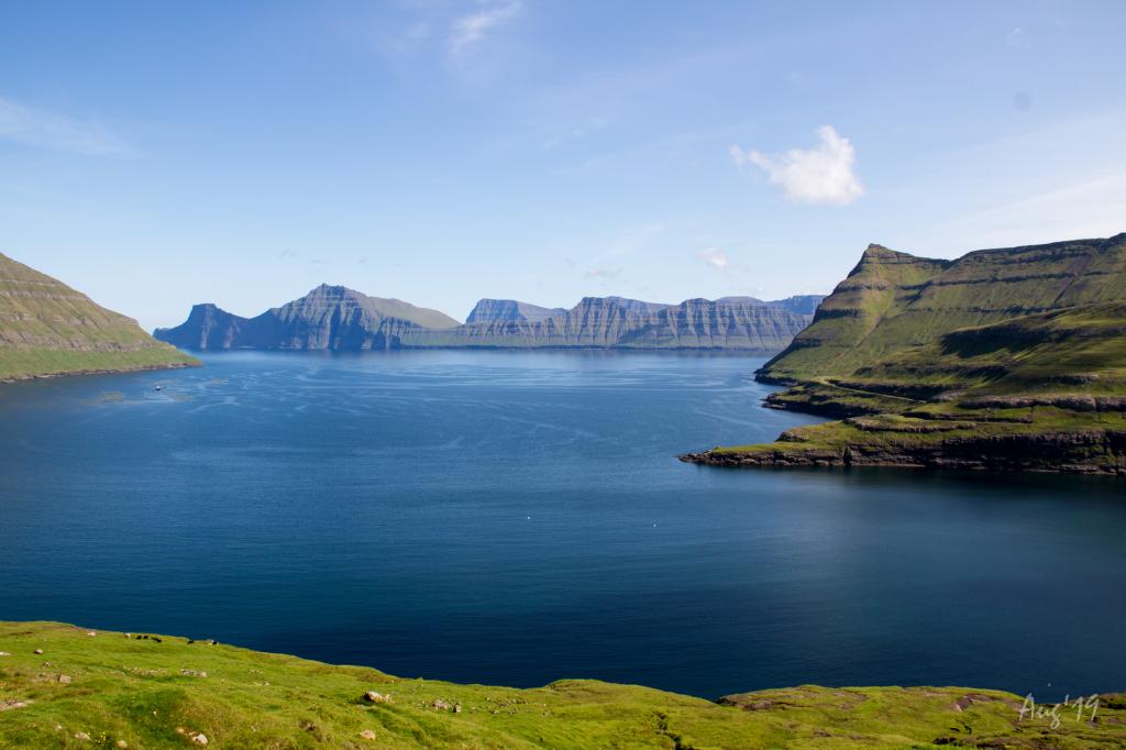
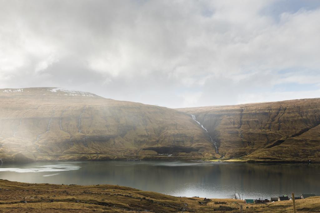
    View from the mountainside on Húsafjall out through the fjord Funningsfjørður. In the background the characteristic island of Kalsoy. Photo: Óli Gardshorn.
  • li-gar-shorn-funningur---sv-n-ir-132-img-0068-jpg
    View over Funningsfjørður. Photo: Óli Gardshodn
  • li-gar-shorn-funningur---sv-n-ir-144-img-0086-jpg
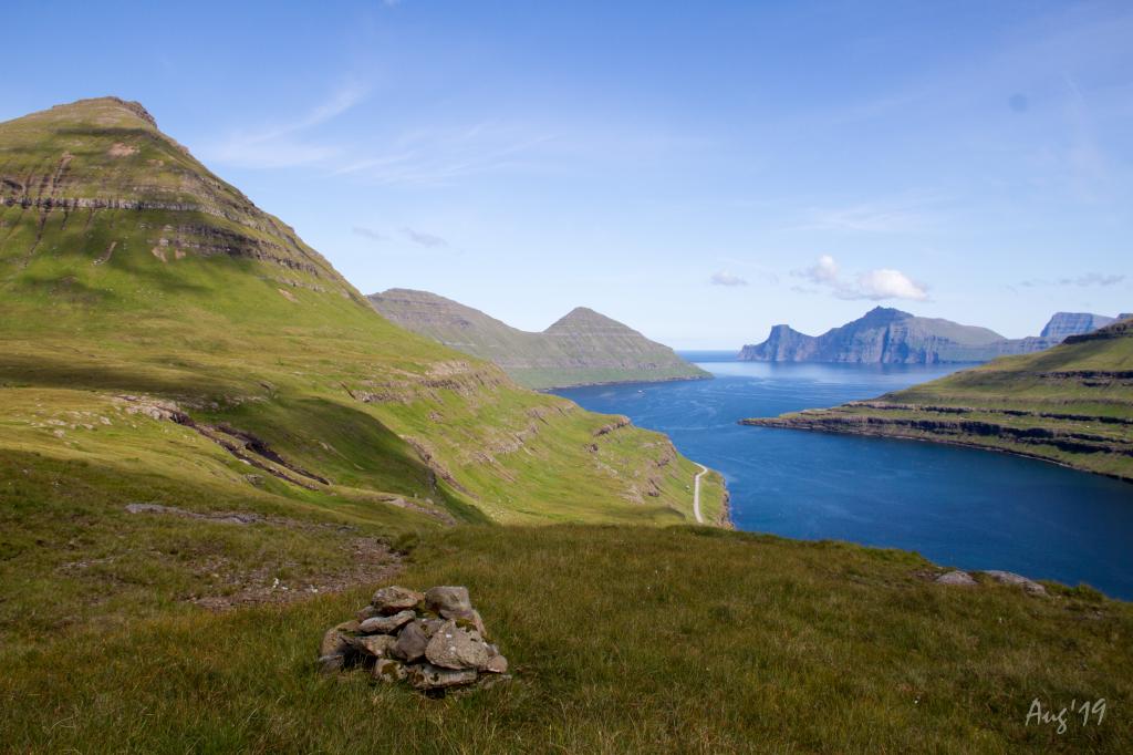
    A Cairn up on Reiðgøta above Funningsfjørður showing the village path. Photo: Óli Gardshodn
  • li-gar-shorn-funningur---sv-n-ir-163-img-0122-jpg
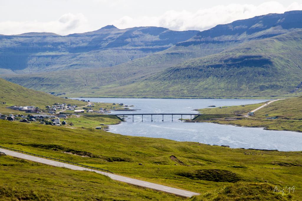
    View of the bridge við Streymin, the only bridge crossing the Atlantic Ocean. Photo: Óli Gardshodn
  • alessio-mesiano---sundini-strait-and-the-village-of-sv-n-ir-jpg
    Sundalagið, view above Svínáir. Photo: Alessio Mesiano
hike poster

A challenging hike with beautiful views of Sundalagið, the strait between Eysturoy and Streymoy

The hike between Funningur and Svínáir, where you ascend into the heights, is both challenging and beautiful. The walk takes about three hours.


As it is not marked, the village path is difficult to find as well as difficult to spot throughout the hike. Therefore, a GPS-file is necessary.


The terrain is grass-covered and good for walking, though fairly rocky through the valley Kvíandalur. The path has no gates, making it necessary to climb (carefully) over the three fences. 


Several cairns are found along the hike but are almost impossible to see at times, as they are old and have not been maintained. 


The path can be taken in both directions, the weather forecast and means of transportation likely being decisive which way it is taken. 


As it is not marked, the path can be difficult to find and it is difficult to spot throughout the hike. Therefore, it is important to use the GPS file on the hike.

Funningur - Svínáir
Svínáir - Funningur

Funningur - Svínáir

Public transport
Route 201 goes to Funningur. You can transfer from route 450 at Oyrabakki, but note that the bus only goes to Funningur and Svínáir a few times a day.

Arriving by car
Parking, Funningur
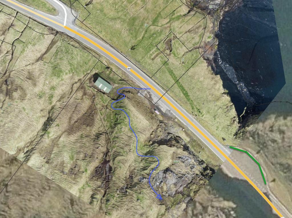
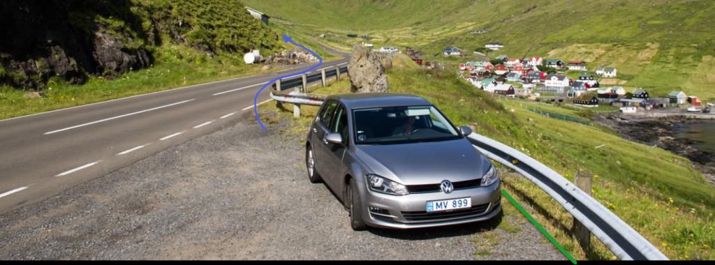
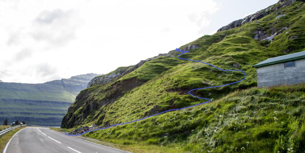
Parking is available at the big parking lot just south of the village; see the area marked with green. From here, follow the blue line to the gate. 

  • funningur-parkering-1-png
    See green line for parking and blue line for starting point
  • funningur-parkering-2-png
    See green line for parking and blue line for starting point
  • funningur-parkering-3-png
    Follow the blue line to get started on your hike

Svínáir - Funningur

Public transport
Route 200 goes through Svínáir  You can transfer from route 450 at Oyrabakki, but note that the bus only goes to Funningur and Svínáir a few times a day.

Arriving by car
Parking í Svínáir
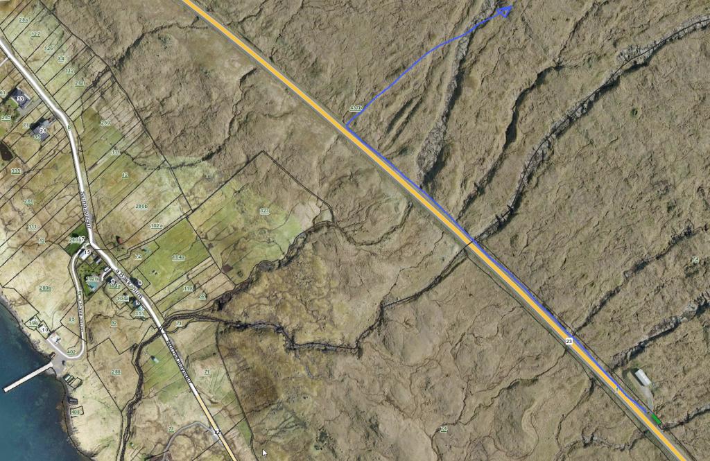
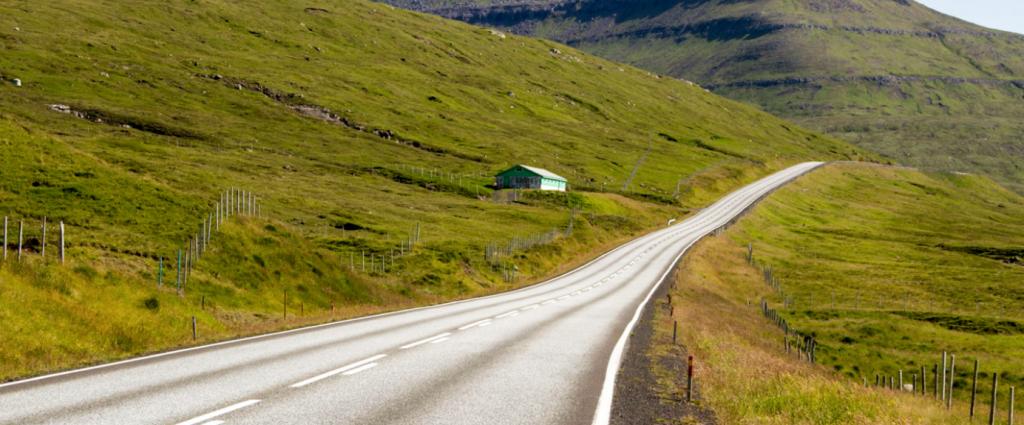
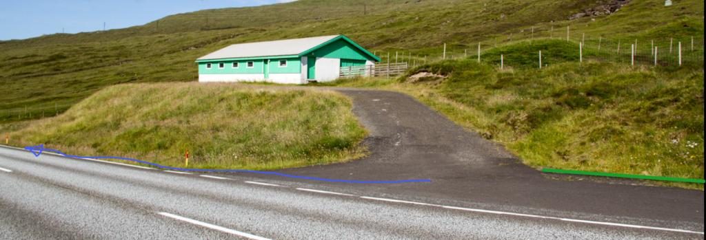
Parking, marked with green lines, is available in Svínáir by the large green barn. Frome there, take the road north beyond the river Stórá, where you must climb over a fence and then go straight up toward the pass Kvíðandalsskarð – note the blue line.

  • sv-n-ir-parkering-1-png
    See green line for parking and blue line for starting point
  • sv-n-ir-parkering-2-png
  • sv-n-ir-parkering-3-png
Funningur - Svínáir
Svínáir - Funningur

Funningur - Svínáir

Svínáir - Funningur

Facts

path icon
3h 0m

Duration

path icon
8 km

distance

hilltop peak icon
495 m

Peak

family icon
484 m

Elevation


family icon The walk is suitable for children 10 years and older. The duration, elevation gain and the steep stretch up from Funningur makes the walk unsuitable
difficulty icon Difficult - The path is good for walking with no crags, but the elevation gain is significant. The first stretch from Funningur is quite steep, and so is the stretch through the hill of Hóvabrekkan up to the valley Kvíandalur
terrain icon Grass-covered and good for walking, a little rocky through Kvíandalur Valley. Three fences must be climbed over
2°C
9 m/s
Weather forecast

Available guided tours