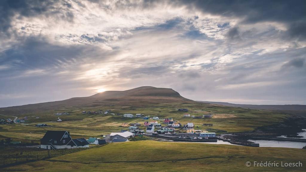
Húsavík - Skálavík
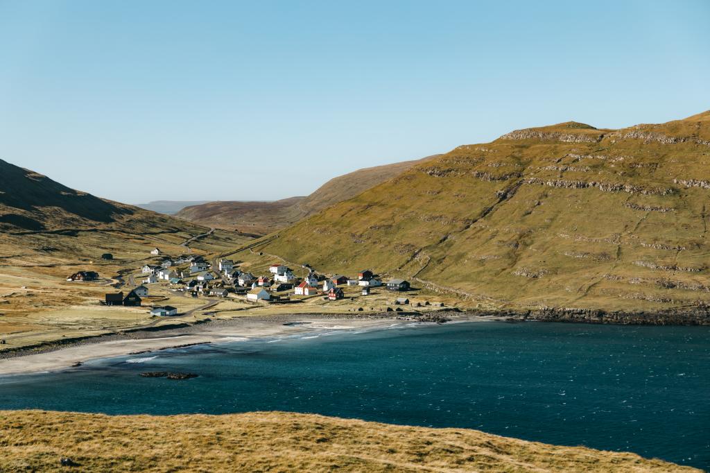
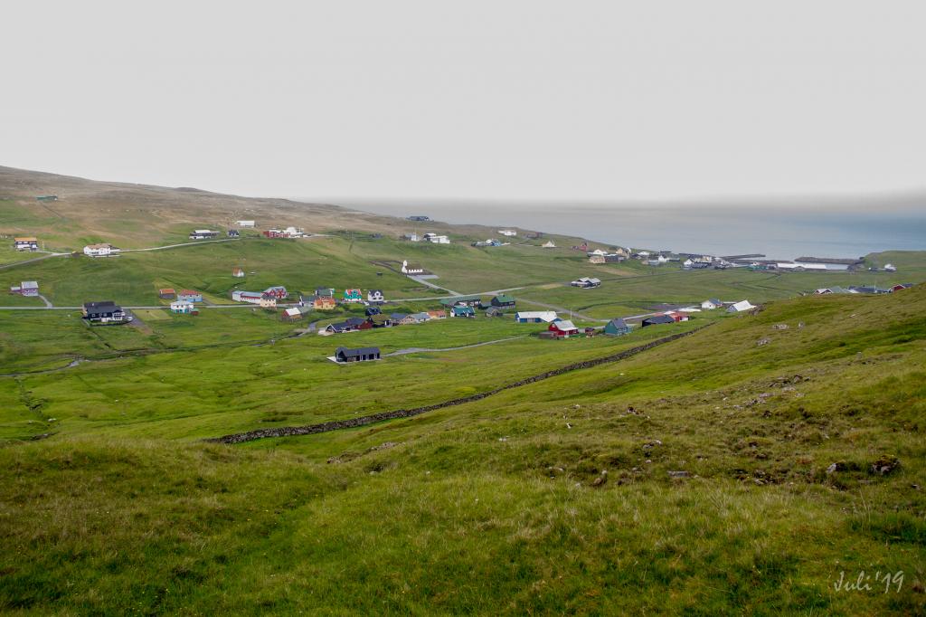
An easy, tranquil and quiet hike. The view westward through the valley toward the village of Sandur is particularly beautiful
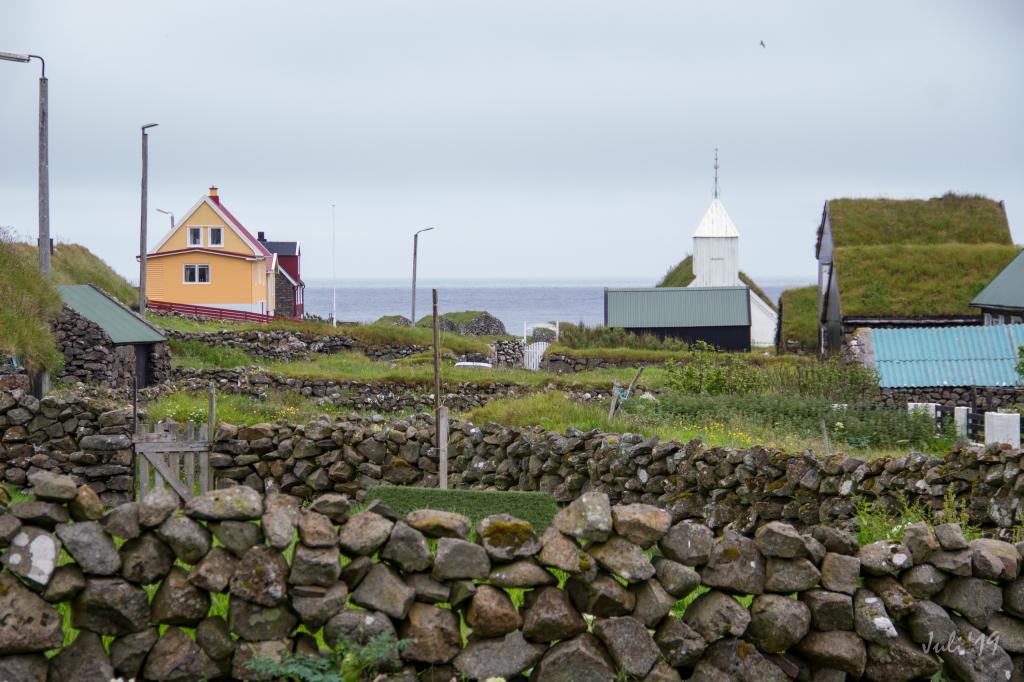
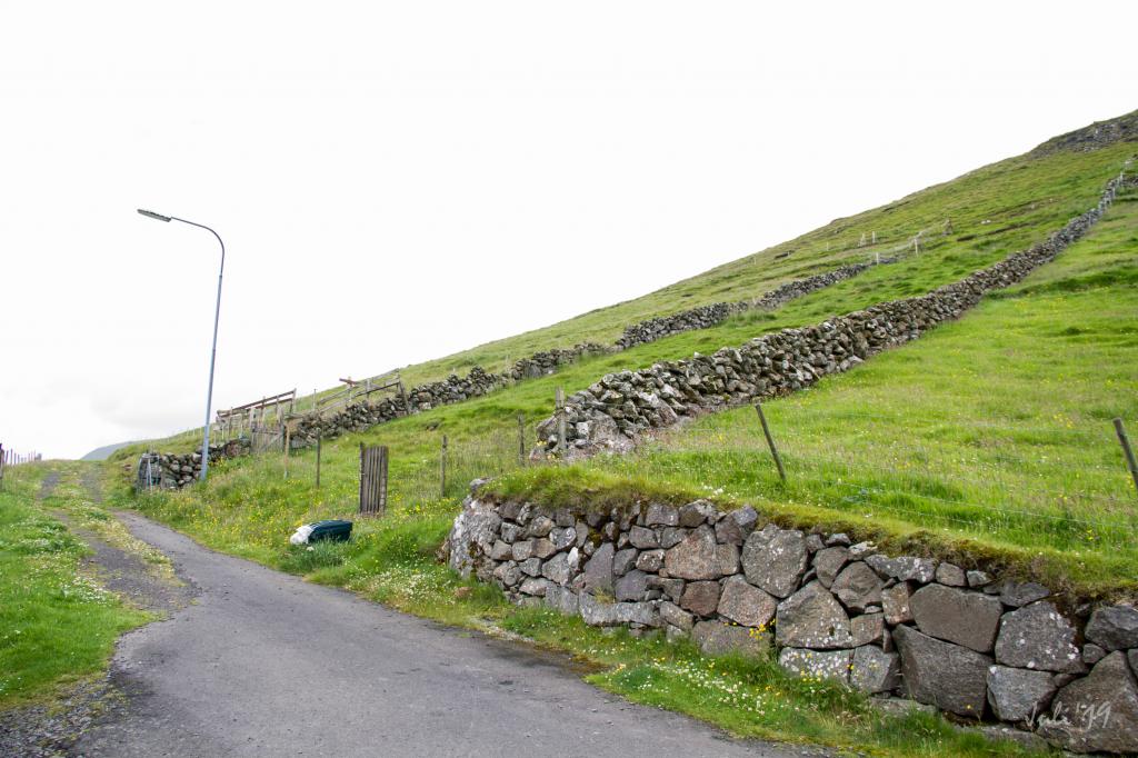
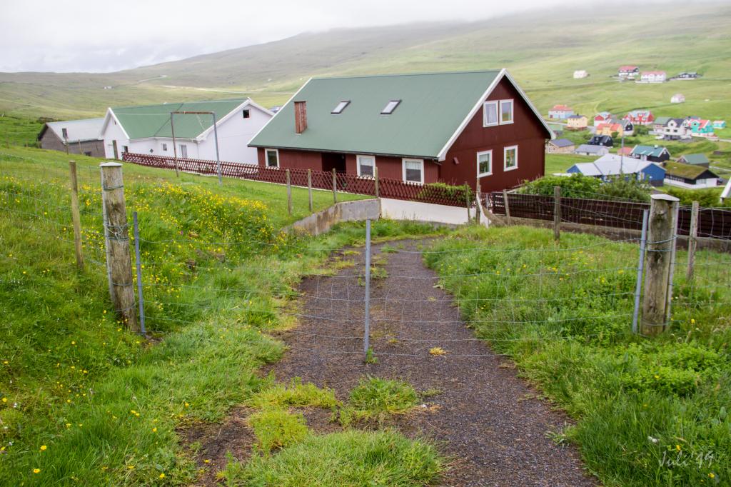
It is easy to find the path in Húsavík. Walk up to the highest road on the north side of village. Where the tarmac ends, you will find a gate that takes you to the path. The first cairn is not visible from the gate, but as you have ascended a little, you will see it, and from there the clearly visible cairns will lead you on.
It is more difficult to find the path in Skálavík since there is no gate in the village wall that indicates where the path starts. Walk eastward about 350 metres until you come to a sheep pen. Here you will find a gate that leads to the path, but the first cairn is not visible from the gate.
The path can be taken in either direction, making weather condition and available transportation decisive on which direction is taken.
The path is not visible, but large cairns signpost the route most of the hike.
Húsavík - Skálavík
Public transport
There is no direct public transportation between Skálavík and Húsavík, but both villages are served by route 600 (to Skálavík) and route 601 (to Húsavík) respectively.
Both routes are driving to Skopun, where the ferry to the mainland leaves from.
Arriving by car
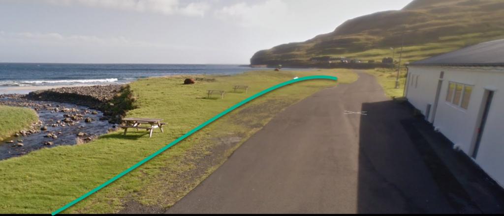
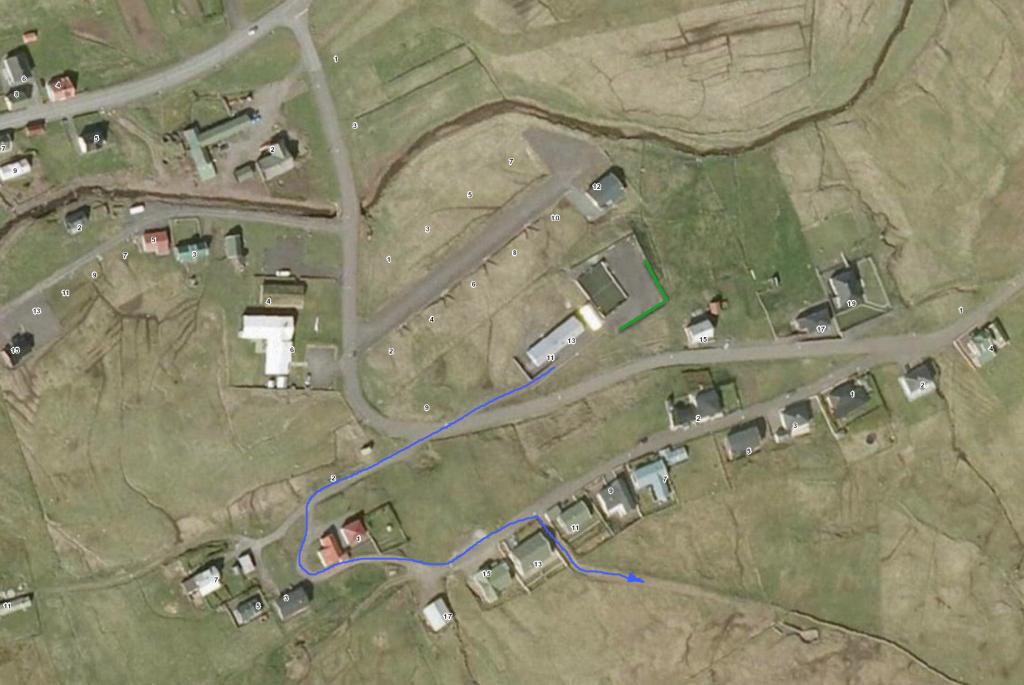
In Húsavík you can park by the village hall Ungmannafelagið Sólarris, adress Fram við Ánna 1. There is a large grass field between the beach and the road where you can park your car. See the green line for parking. To find the hiking trail follow the blue line through the valley and through the outfield gate. This is a beautiful walk through the old village.
Skálavík - Húsavík
Public transport
There is no direct public transportation between Skálavík and Húsavík, but both villages are served by route 600 (to Skálavík) and route 601 (to Húsavík) respectively.
Both routes are driving to Skopun, where the ferry to the mainland leaves from.
Arriving by car
Parking, Skálavík
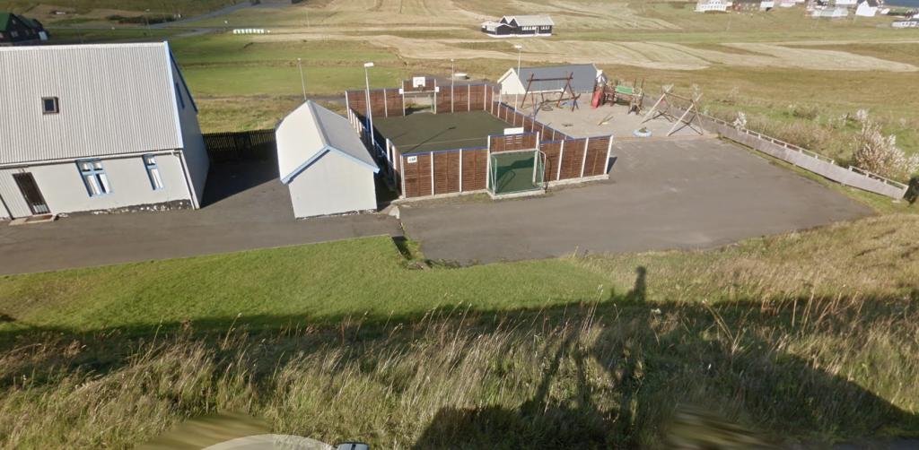
Parking is available by the village’s football pitch. From there, walk toward the sheep pen, where you will find the gate that leads to the path.
Húsavík - Skálavík
Skálavík - Húsavík
Facts
Duration
distance
Peak
Elevation
