Kollafjørður - Skælingur
  • 2019-07-07-oyggjarvegurin---sk-lingur-101-img-0002-jpg
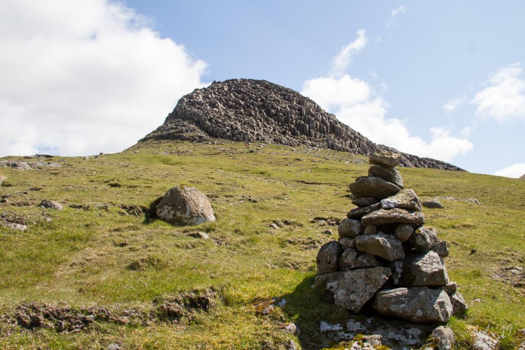
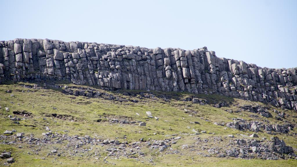
    On Regnsendin, we will walk close to the characteristic Streymoyar sill that can be seen many places in the area as a irregular intrusive formation through the stone faces. Photo: Óli Gardshodn
  • 2019-07-07-oyggjarvegurin---sk-lingur-102-img-0003-jpg
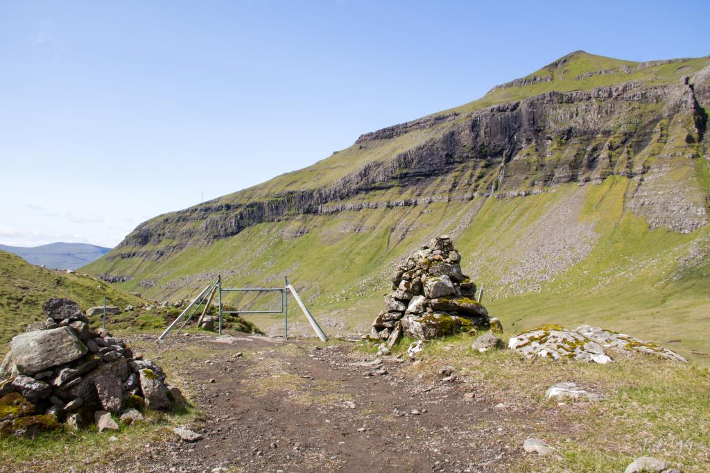
    At the wide pass under Regnsendan, the village paths from Leynum and Skælingi joins. In the background the mountain of Sátan. Photo: Óli Gardshodn
  • 2019-07-07-oyggjarvegurin---sk-lingur-103-img-0011-jpg
    View up to Regnsendin where we see the Streymoyar sill. Photo: Óli Gardshodn
  • 2019-07-07-oyggjarvegurin---sk-lingur-105-img-0015-jpg
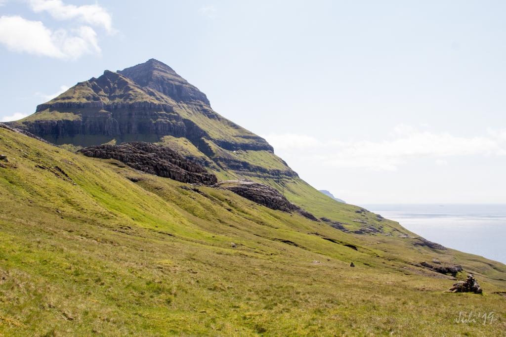
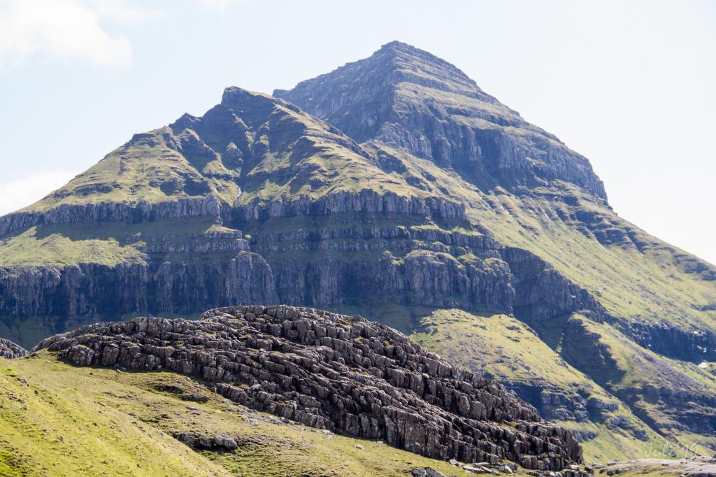
    Again here in the foreground to the left, we see part of the Streymoyar sill. In the background we see the mountain of Skælingsfjall. Photo: Óli Gardshodn
  • 2019-07-07-oyggjarvegurin---sk-lingur-108-img-0021-jpg
    Again, here in the foreground to the left, we see part of the Streymoyar sill. In the background we see the mountain of Skælingsfjall. Photo: Óli Gardshodn
  • 2019-07-07-oyggjarvegurin---sk-lingur-109-img-0028-jpg
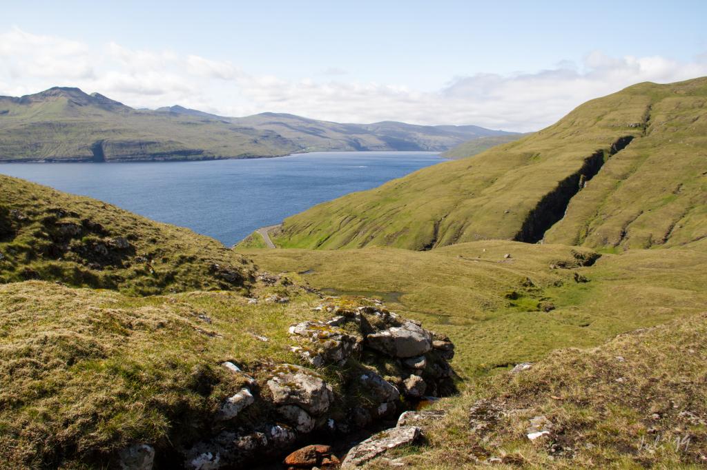
    The strait of Vestmannasund. In the background the island of Vágar. Photo: Óli Gardshodn
  • 2019-07-07-oyggjarvegurin---sk-lingur-111-img-0030-jpg
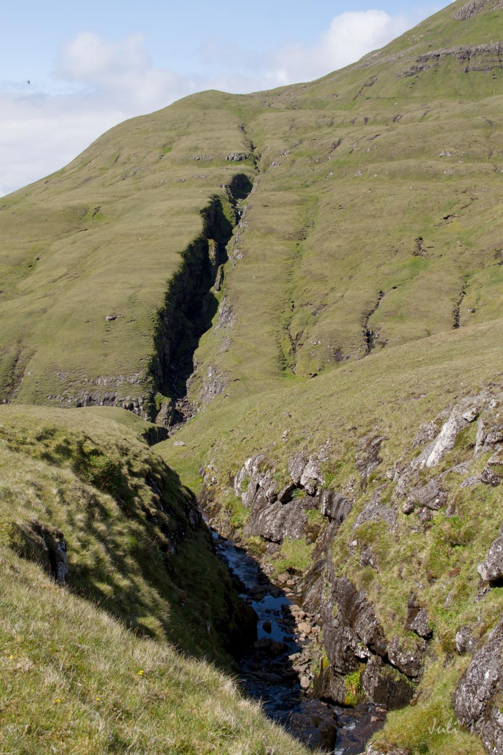
    Like so much else irregular in the area, this too is a bit of a rare cleft, called Ravnagjógv. Photo: Óli Gardshodn
hike poster

An easy, peaceful and beautiful hike

The hike between Kollafjørður and Skælingur is beautiful with great views over the strait of Vestmanna and the island of Vágar. The view is better walking toward Skælingur as well as the hike being less strenuous as you start up high. 


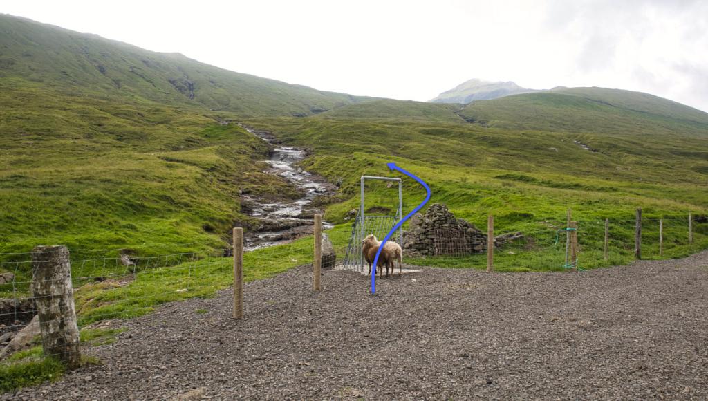
The start of the path at either end is not very well marked, but otherwise cairns lead you most of the way. If you start at Kollafjørður, you can just see the first cairn after passing the road if you look carefully. 


There is good parking where the path begins in Skælingur.

Kollafjørður - Skælingur
Skælingur - Oyggjarvegurin

Kollafjørður - Skælingur

The hike begins in Kollafjørður. No busses stop close by and you'll have to walk some 1,7km from the nearest busstop.

Skælingur - Oyggjarvegurin

Public Transport
There is no public bus to Skælingur or on the road “Oyggjarvegurin”.

Arriving by car
Parking, Skælingur
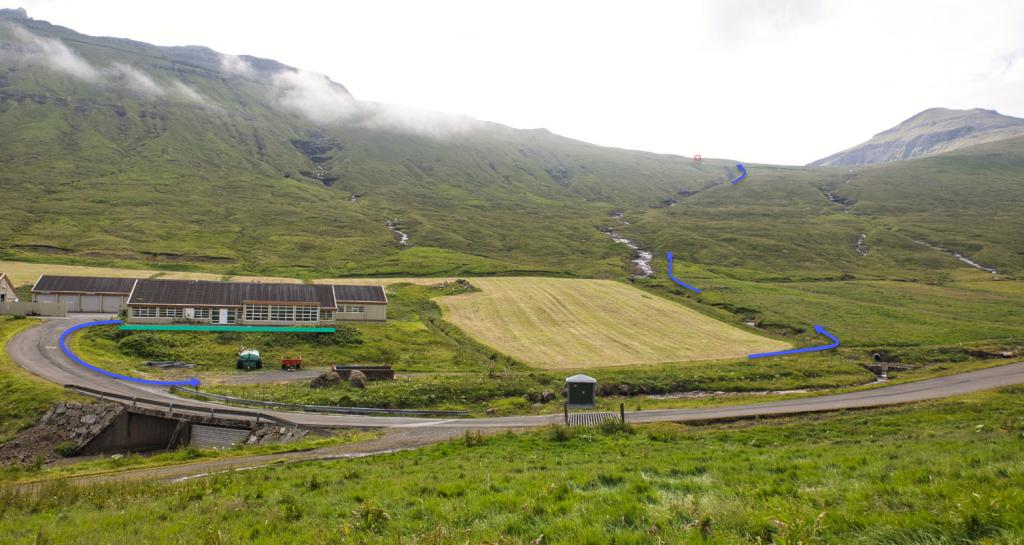
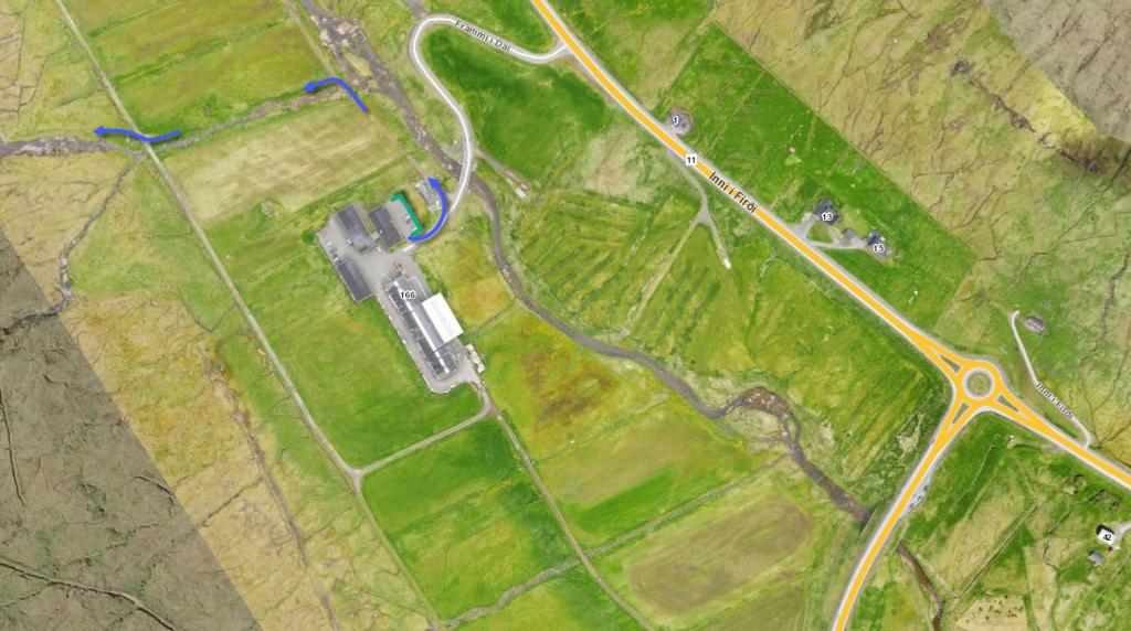
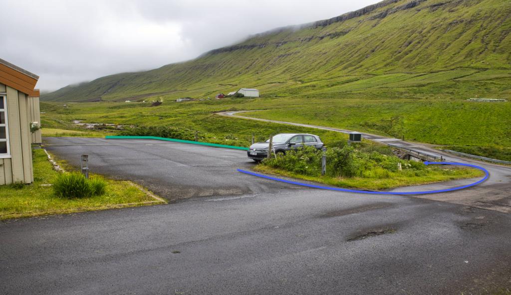
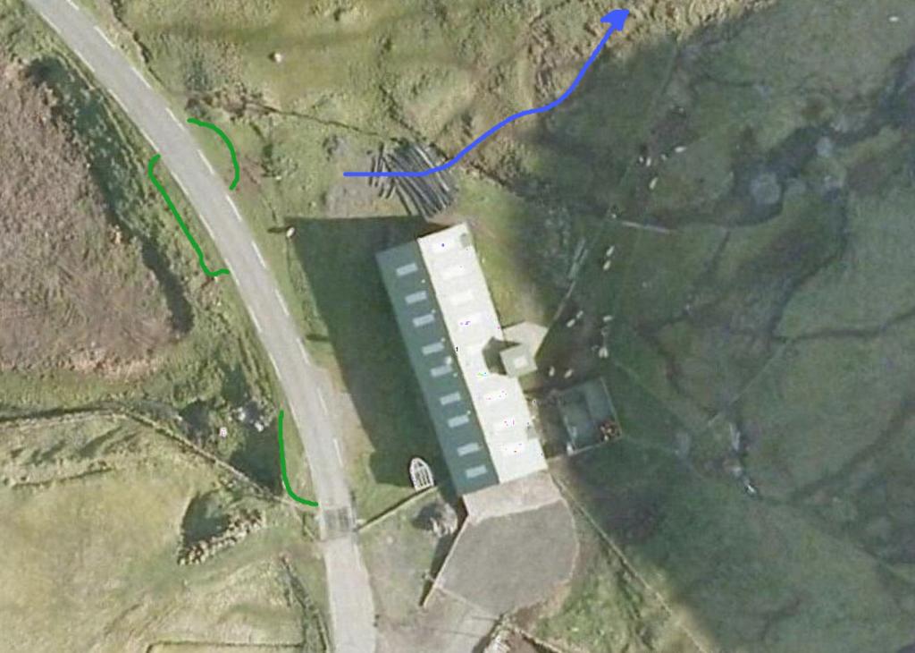
You can park your car just below where the path starts, either north of the path by the cattle grid or by the roadside north of the house that you need to walk by when you go up to the path. (see the photo)

  • sk-lingur-png
    Parking (green line) and starting point (blue line)
Kollafjørður - Skælingur
Skælingur - Kollafjørður

Kollafjørður - Skælingur

Skælingur - Kollafjørður

Facts

path icon
1h 0m

Duration

path icon
3 km

distance

hilltop peak icon
280 m

Peak

family icon
272 m

Elevation


family icon The hike is suitable with children
difficulty icon Easy - An easy an comfortable hike
terrain icon The entire path is grass-covered.
2°C
3 m/s
Weather forecast

Available guided tours