Norðradalur – Tórshavn
  • jeff-bartlett-jpg
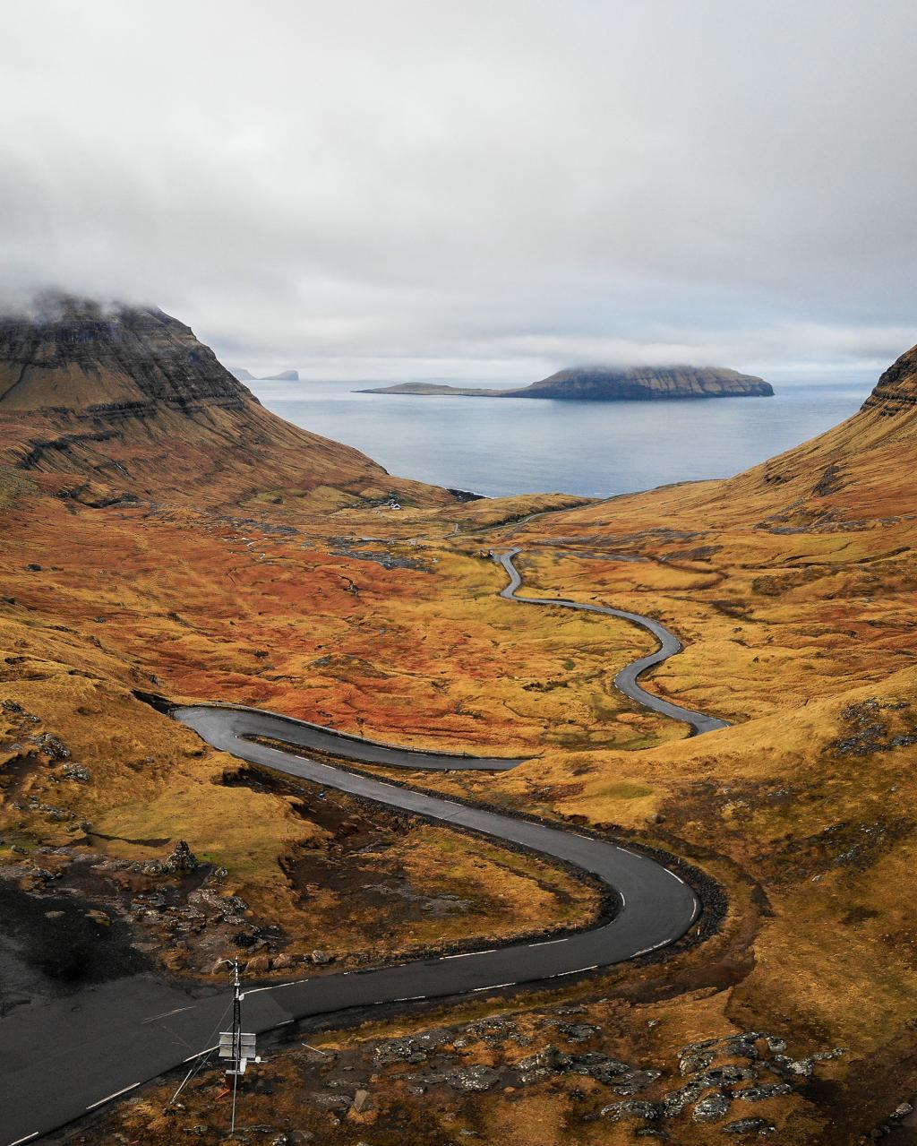
    The curvy road to the village of Norðradalur. Photo: Jeff Bartlett
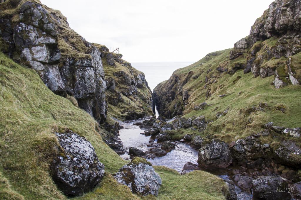
  • Hiking-Villagepath-Faroe-Islands-Norðadalur-Sundshálsur
    The village path between Norðradalur and Sundshálsur starts in the pleasant gorge in Norðradalur. Photo: Óli Gardshodn
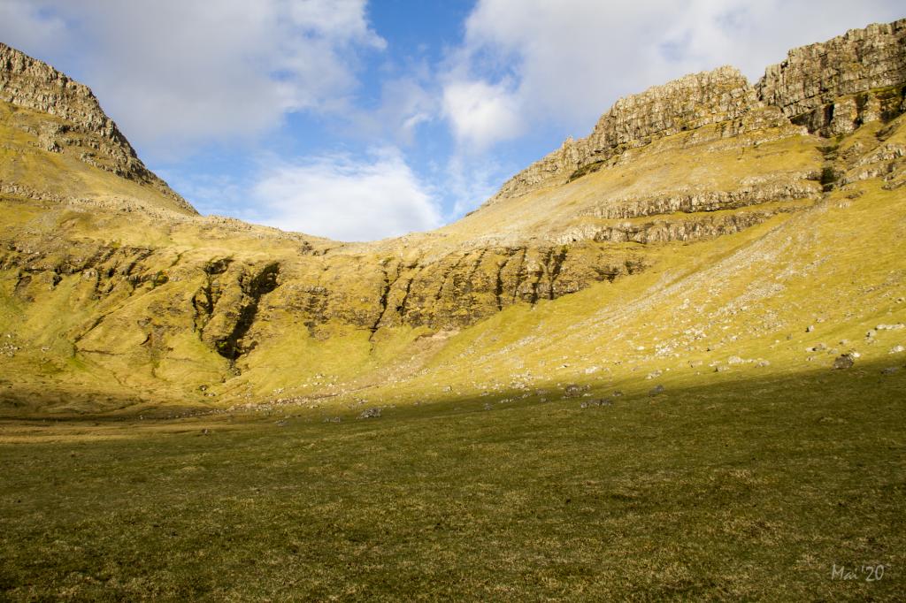
  • 2020-05-08-nor-radalur-sundsh-lsur-105-img-0066-jpg
    Entering the valley, everything becomes very tranquil, pleasant and beautiful, especially in the afternoon sun. Photo: Óli Gardshodn
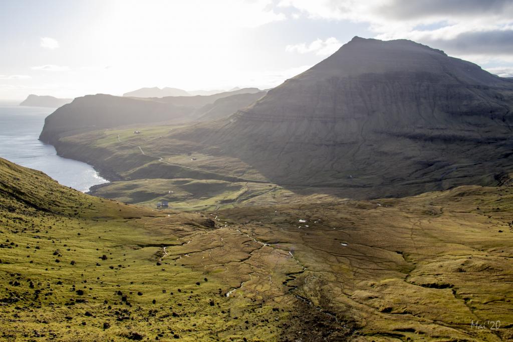
  • Hiking-Villagepath-Faroe-Islands-Norðadalur-Sundshálsur
    View over the cosy valley above Norðradalur. Photo: Óli Gardshodn
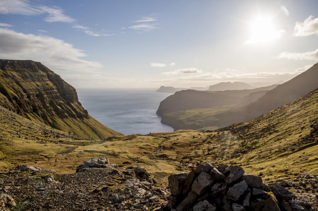
  • Hiking-Villagepath-Faroe-Islands-Norðadalur-Sundshálsur
    Up on the pass Fólkaskarð in 415m. you have a beautiful view over the upper valley and the vestern part of Norðradalur with the Island of Vagar in the background. Photo: Óli Gardshodn
  • Villagepath-Hike-Tórshavn-Norðradalur
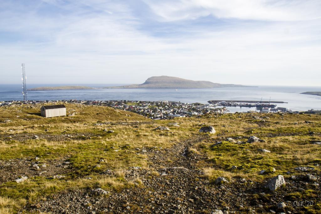
    View of Nólsoy on the villagepath between Tórshavn and Norðradalur. Photo by: Óli Gardshodn
hike poster

A hike up through the pass above Norðradalur, leading into a deep and level valley that is tranquil and beautiful to walk through

The village path between Norðradalur and Tórshavn starts where the gate and sign has been erected. From there, you follow the path and red wayfinding poles to the southern part of the village and out through the cattle trail.


The hike up to the valley is quite steep but the path is grass-covered and easy to walk. Entering valley, everything becomes very tranquil, pleasant and beautiful, especially in the afternoon sun.


Leaving the valley, you hike through steep terrain up to the pass. From there, the path is level and good for walking through a rocky plateau down to the broad pass Sundshálsur. From here you walk on the Havnardals bridge to Bøllureyn. Continue pass to the firestation in Tórshavn. 

Norðradalur – Tórshavn
Tórshavn - Norðradalur

Norðradalur – Tórshavn

Public Transport
There is no public transportation to Norðradalur.

Arriving by car
Parking, Norðradalur
There is a large parking lot by the bridge where the road splits in two. Another parking lot is found down in the eastern part of the village. From here, walk through the gate above the easternmost house, Norðradalsvegur 1, and go east to the gate called Havnaportrið. Since a fence blocks the path, follow the fence up to the village wall, where you will find a narrow passage. (see the photos)

Tórshavn - Norðradalur

Public Transport
In Tórshavn you can take the city bus from the city centre to Vegurin Langi – from here you can easily walk to the starting point of the hike.

Arriving by car
Parking, Tórshavn
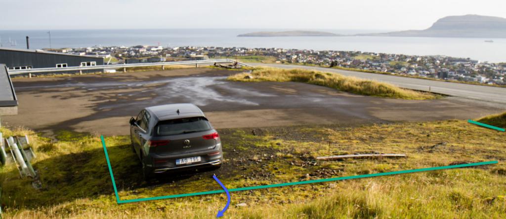
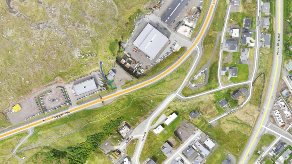
In Tórshavn you can park at the public parking lot above the firestation on Oyggjarvegur 40. Follow the blue line from here until you reach the village path. 

There is no public transportation to Sundshálsur.

Parking, Sundhálsur
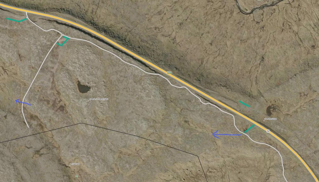
At Sundshálsur, there is good parking in one of the parking lots by the main road, Oyggjarvegurin, and by the road that goes up to the pond at Sundshálsur. (see the photo)

There is a parking lot where the trail starts. 

  • Parkering-Tórshavn-Norðradalur
    In Tórshavn you can park at the public parking lot above the firestation on Oyggjarvegur 40. Follow the blue line from here until you reach the village path
  • Parkering-Tórshavn-Norðradalur
    Parking in Tórshavn. See green line for parking and blue line for starting point
  • Parking-and-Starting-Point-Sundshálsur
    Parking and starting point at Sundshálsur. Park by the green line and follow the blue line to find the trail
Norðradalur – Tórshavn
Tórshavn - Norðradalur

Norðradalur – Tórshavn

Tórshavn - Norðradalur

Facts

path icon
2h 20m

Duration

path icon
10 km

distance

hilltop peak icon
451 m

Peak

family icon
487 m

Elevation


family icon Suitable with children over 8 years accompanied by adults
difficulty icon Difficult - The path up from the valley to the pass is steep, but otherwise good for walking. People suffering from fear of heights may find this short stretch of about 50 metres difficult
terrain icon Grass-covered in Norðradalur. A lot of coarse sand and gravel characterises the stretch from the pass Syðraskarð down to the pass Sundshálsur, but the path is level and easily visible. Horse-riding is common on this path
12°C
7 m/s
Weather forecast

Available guided tours