Oyrargjógv - Sørvágur
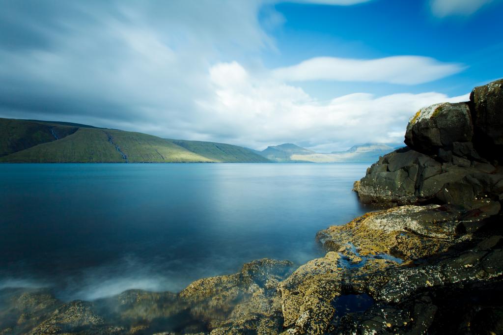
An easy hike through the beautiful and even terrain of the isle of Vágoy, taking you over the path Sundsgøtan through a valley, crossing rivers to Sørvágur with lovely views
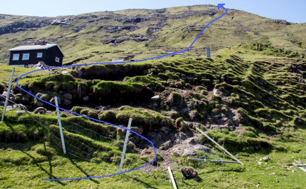
The village path starts in Oyrargjógv, taking you uphill to the path Sundsgøtan, which leads you to Sørvágur.
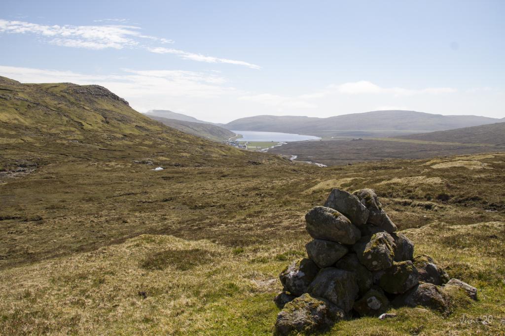
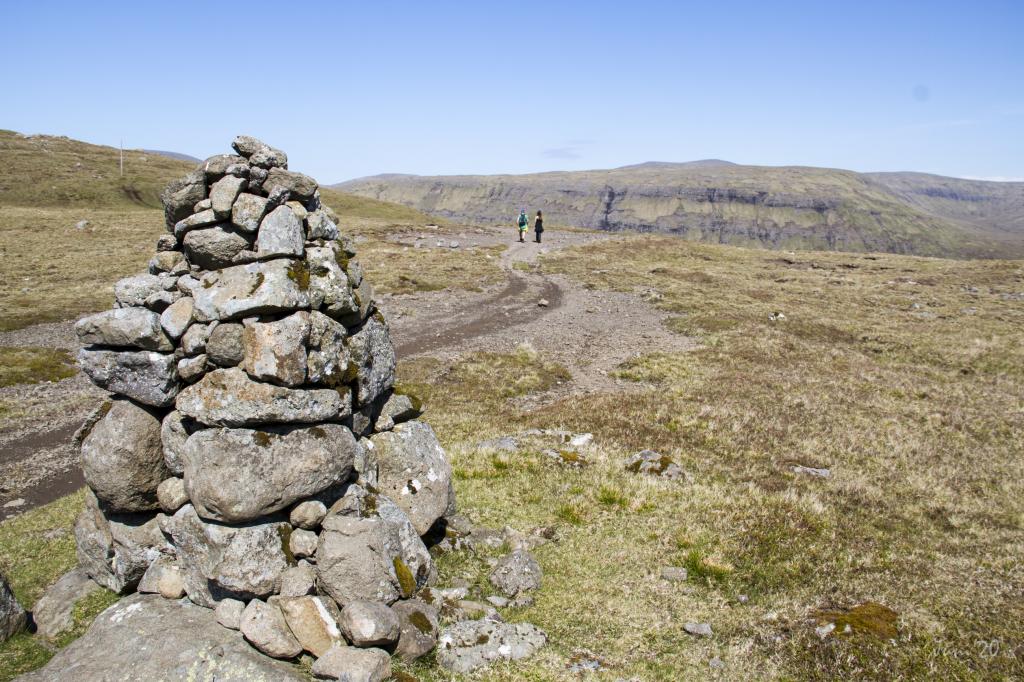
It is easy to follow the trail as cairns are set up the whole way. Apart from the strenuous stretch up from Oyrargjógv, the terrain is quite even, making for an easy hike. Rivers must be crossed, e.g. Kvígandalsá and Sjatlá, but these are easily forded.
According to legend, the huldre woman (a type of rock troll) of Húsagjógv started to chase a shepherd from Sondum because he had stolen her silk gown. She chased him to Vatnsoyrar, up the hill Vatnsbrekka and all the way to Sandavágur. She caught up to him, but he was able to jump into the churchyard in Sandavágur, keeping one sleeve of the gown, which now is the chasuble used in the church.
The hike can be taken in either direction.
Oyrargjógv - Sørvágur
Public Transport
There is no bus connection to Oyrargjógv, making a car necessary.
Arriving by car
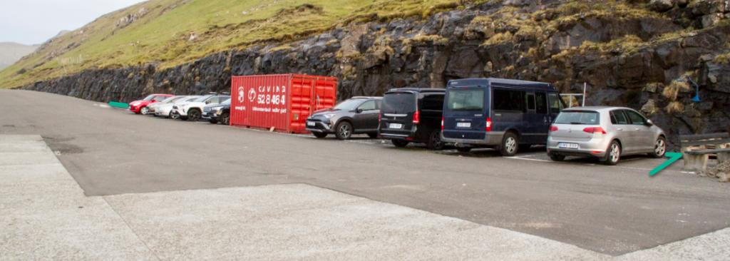
Parking, Oyrargjógv
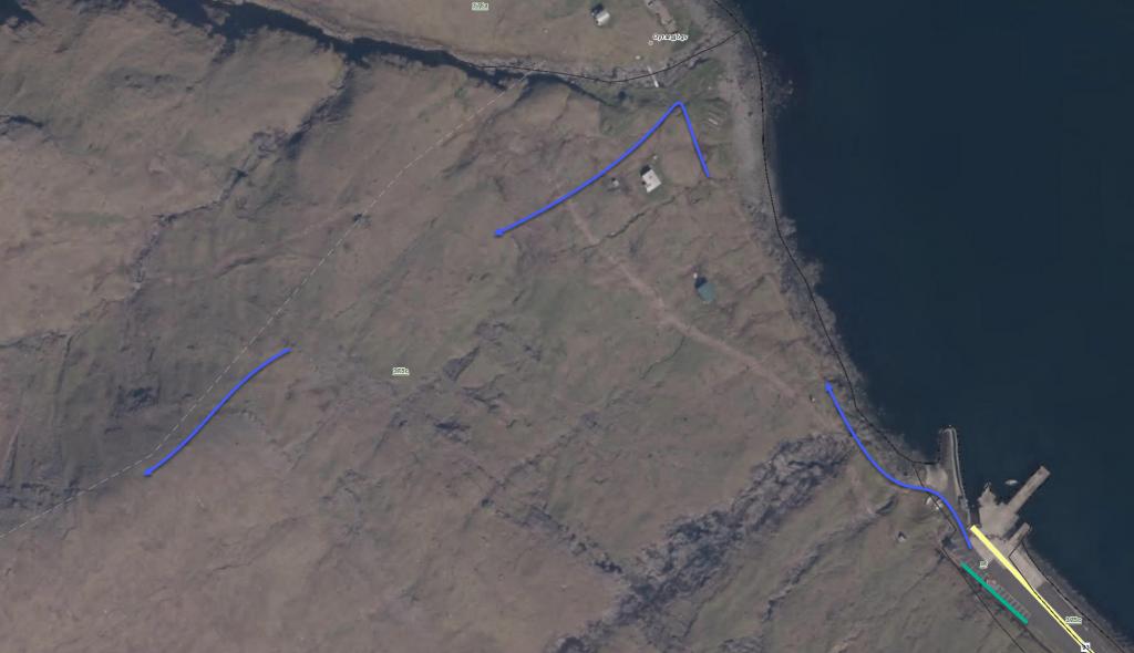
In Oyrargjógv you can park by the old ferry berth, which is close to the village path. From there, follow the blue line north to Oyrargjógv, where you go up the hill to the first cairn, which is visible from the shore.
Sørvágur - Oyrargjógv
Public Transport
Bus Route 300 goes to Sørvágur.
Arriving by car
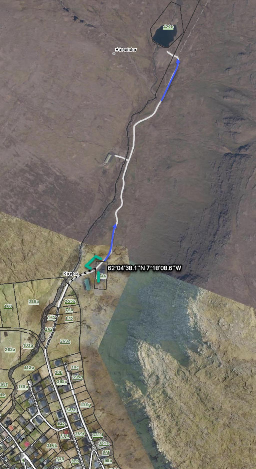
Parking, Sørvágur: The best place to park in Sørvágur is by the water reservoir close to the unpaved road by the river Kirkjuá – note the green lines. From here, hike 600 metres along the blue line up to the gate in the infield, where the path begins. The first cairn is found just above the gate.
Oyrargjógv - Sørvágur
Sørvágur - Oyrargjógv
Facts
Duration
distance
Peak
Elevation

