Sørvágur - Slættanes
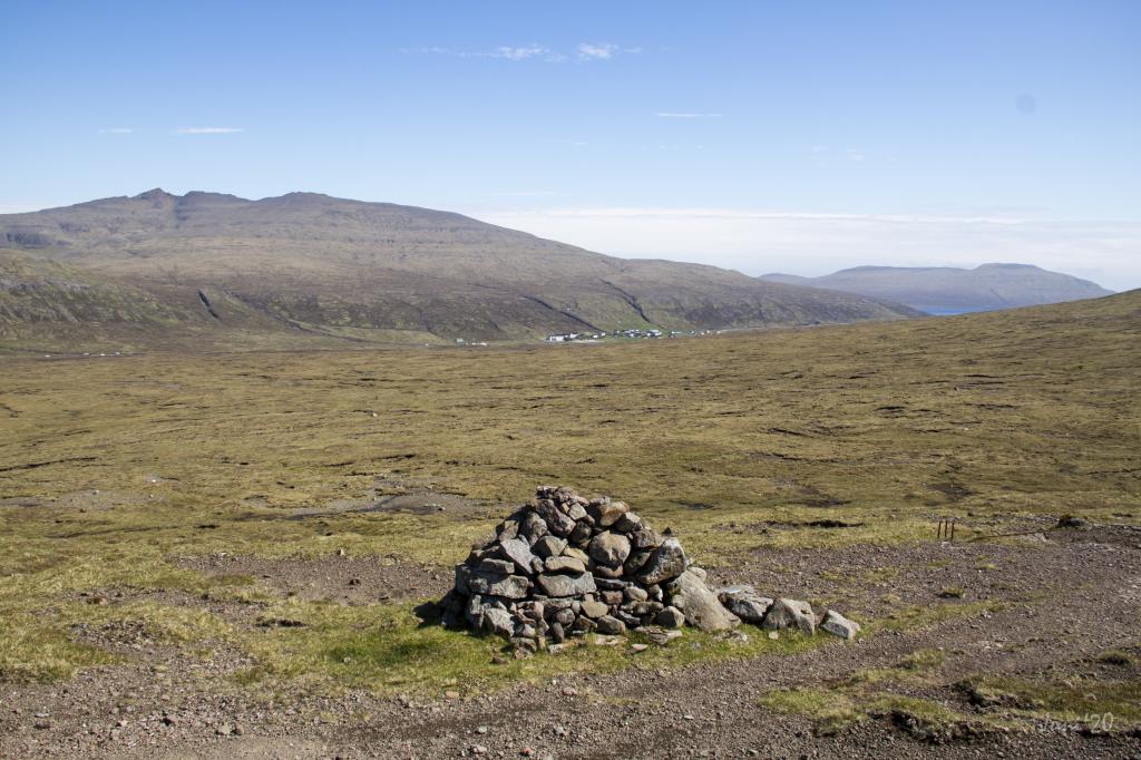
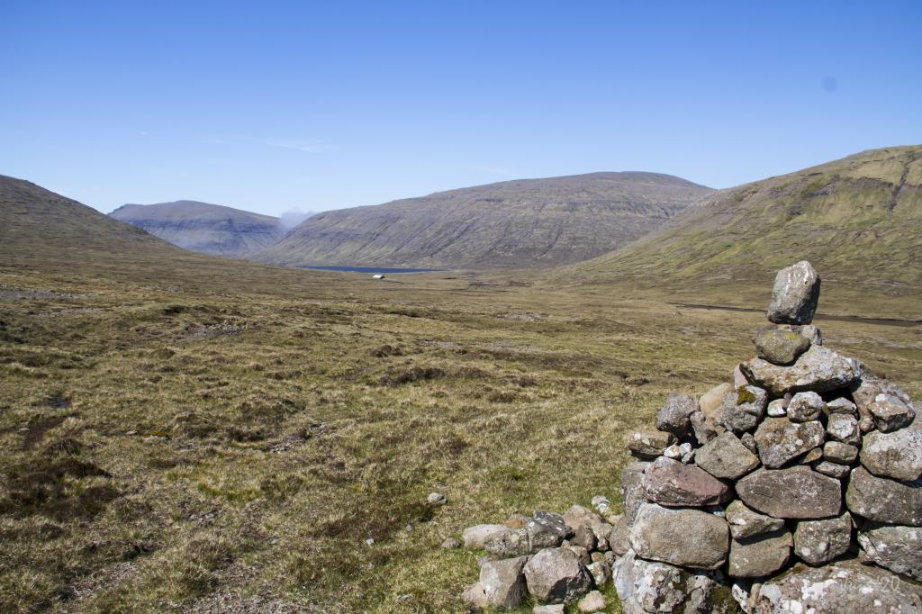
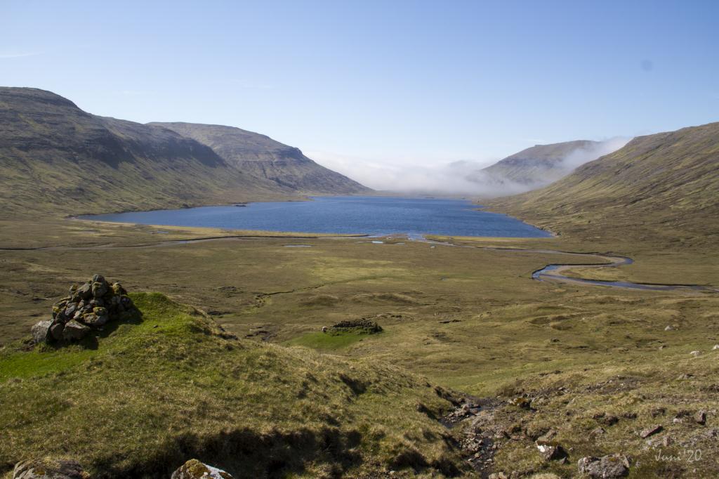
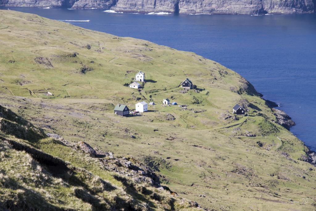
The hike begins on the path Slættanesgøtan in Sørvágur, goes through the wide and scenic area by Fjallavatn, and continues north to Slættanes
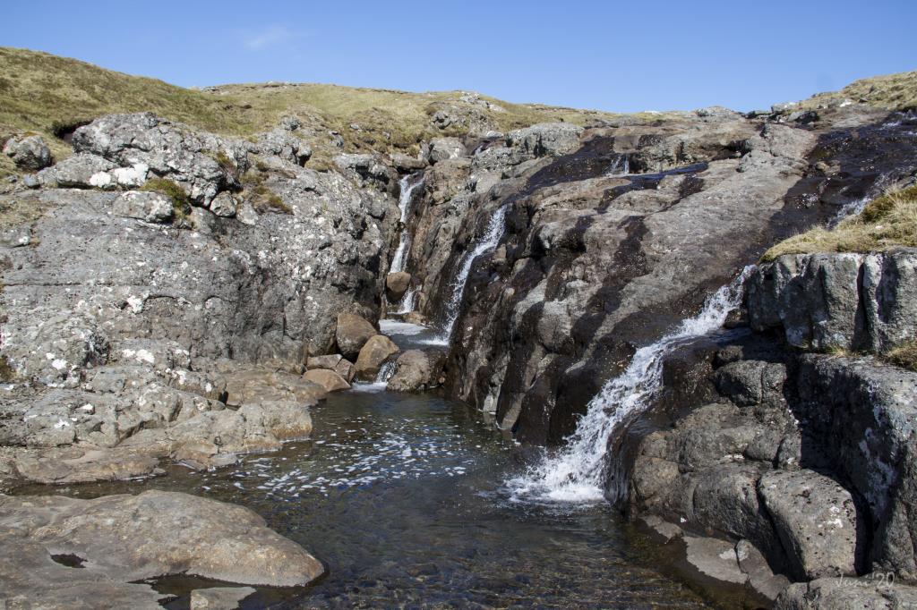
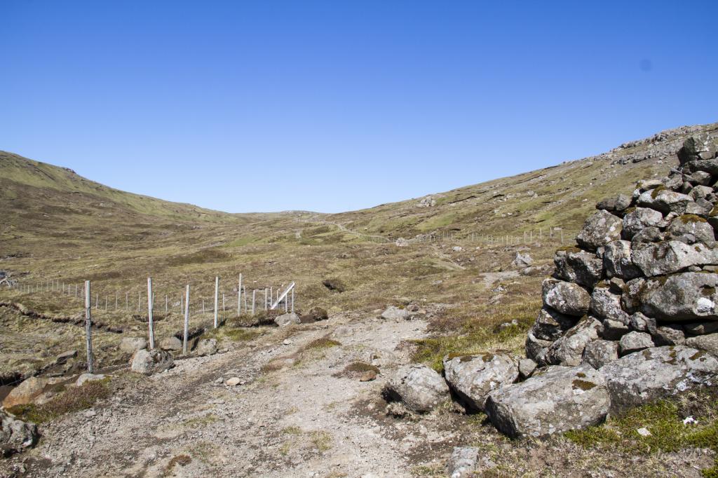
The path starts by the water reservoir in the valley of Húsadalur in Sørvágur. Ascend northward on the path called Slættanesgøtan toward the lake Fjallavatn, ford the river Tunguá, and continue up to the narrow bog named Mýrubotnur. From there, hike north around the ridge just north of Mt. Tungufelli and continue north through the pastures of Slættaneshagi to Slættanes.
The hike can be taken in either direction. As there is no road to Slættanes, where you start depends on how you access the path, by boat or on foot.
Sørvágur - Slættanes
Public Transport
There is no road to Slættanes.
Bus Route 300 is driving to and from Sørvágur.
Arriving by car
Parking, Sørvágur
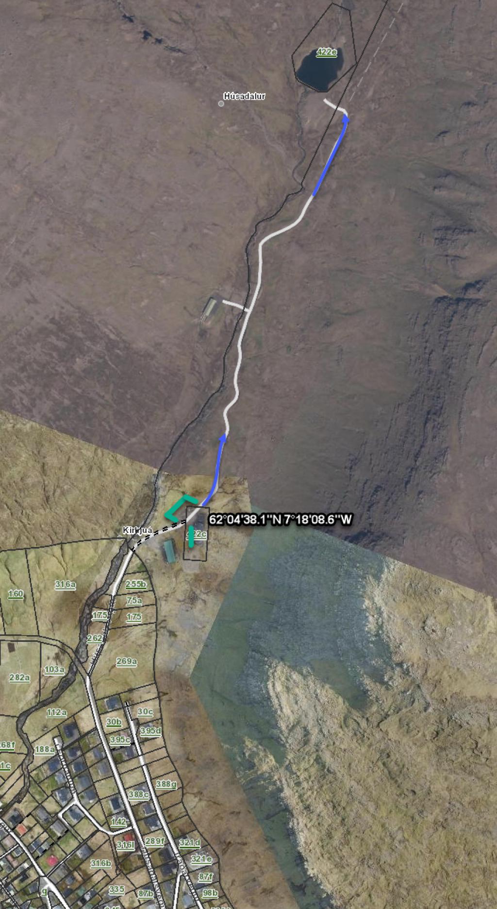
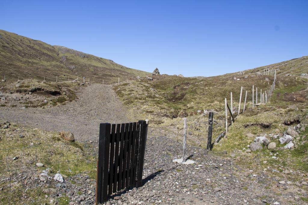
You can park your car by the water reservoir that lies by the unpaved road near the river Kirkjuá – note the green lines. From here, follow the blue line for about 600 metres, to the infield gate, where the path starts. The first cairn is just outside the gate.
Slættanes - Sørvágur
There is no road to Slættanes.
Parkering, Slættanes: not possible
Sørvágur - Slættanes
Slættanes - Sørvágur
Facts
Duration
distance
Peak
Elevation
