Toftir - Runavík
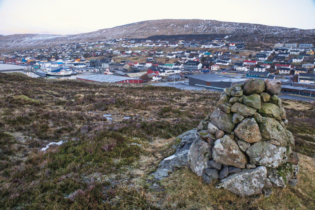
An easy and beautiful walk through the densest heather fields in the Faroe Islands.
This path is perfect for a short and comfortable walk through the densest heather fields in the Faroe Islands, Húshagin, between Svangaskarð and Runavík. This route is also excellent as the end of the 9.5km round trip through Runavík – Rituvík – Toftir – Runavík (this route is available on the website).
The start of the route takes place in Svangaskarð, where there is decent parking. You will walk through the stone gate by the sheepfold, and from there in a straight line through Húshagan, downward to the stone gate, down at Skúlin við Løkin.
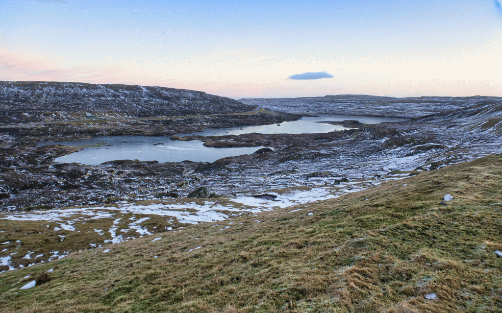
It is easy, peaceful and very beautiful to walk down this path, which makes its way through the dense red and green heather, to the extent that the cairns are almost lost within the heather. This area is gorgeous in September when the blue-red heather berries are in full bloom, blanketed by a damp mist.
The fact that the path is not visible for significant parts of the route suggests that this route is not used much. There are some fascinating streams and brooks on the way, by Skrivarakelda, Kollingsklett and also closer to the stone gate in Runavík.
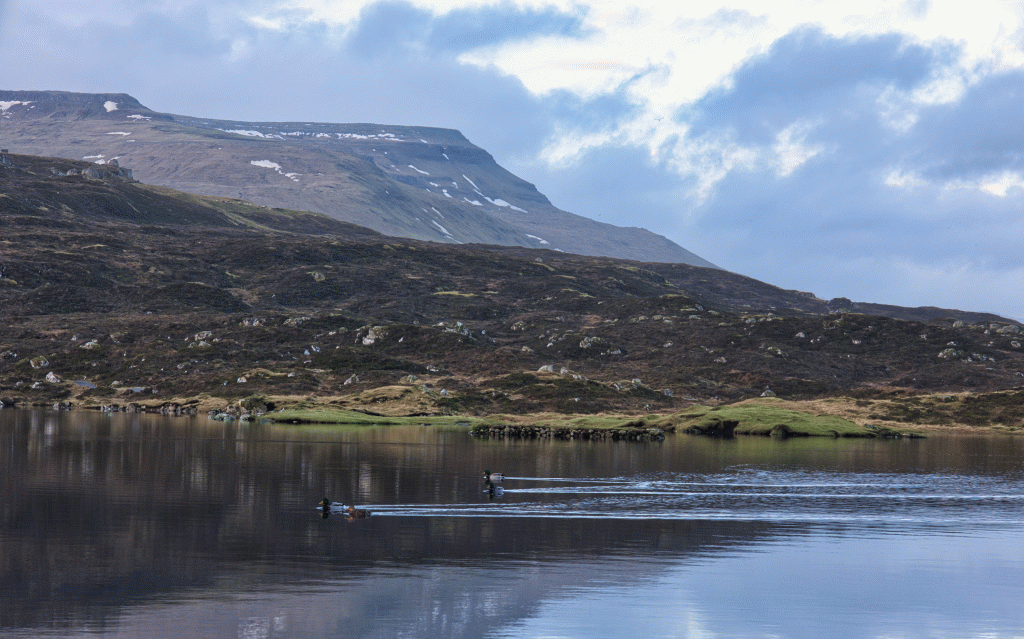
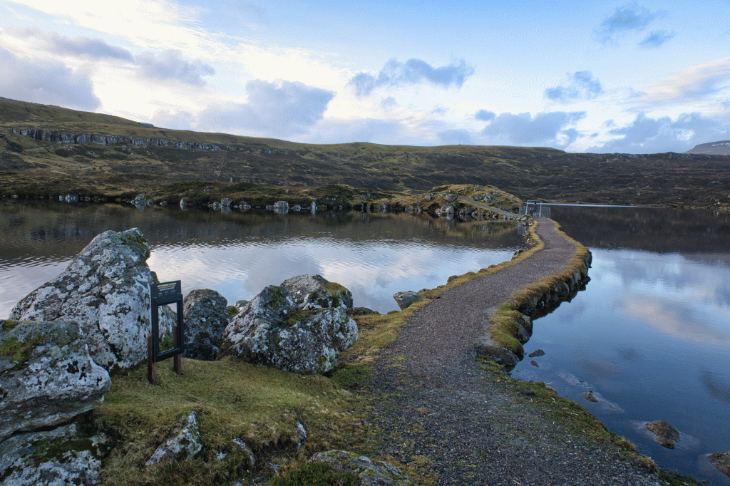
During the walk, there is an excellent view over Toftavatn, known for its rich bird wildlife.
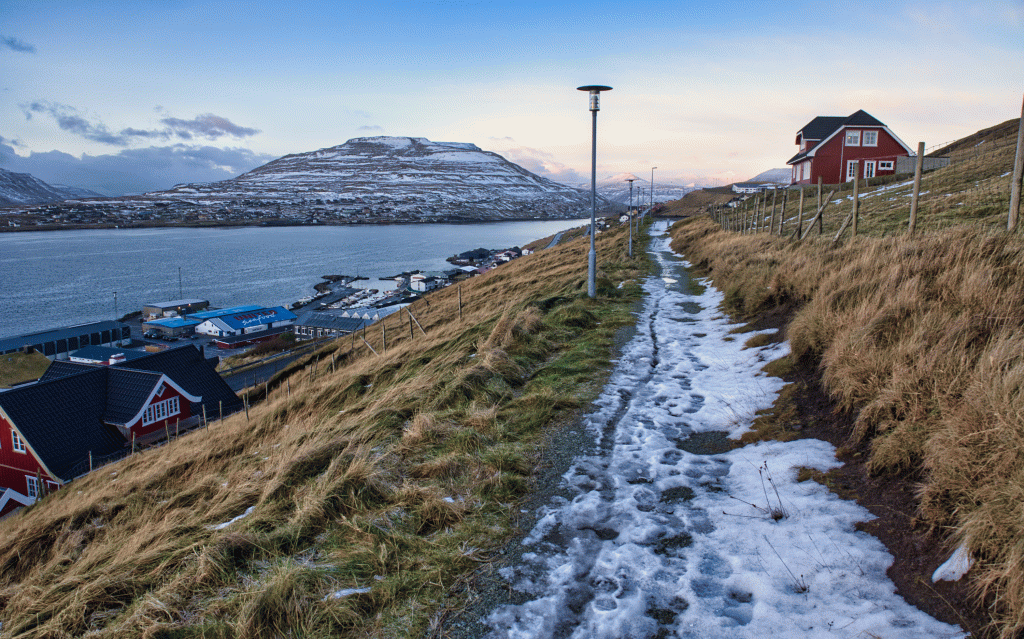
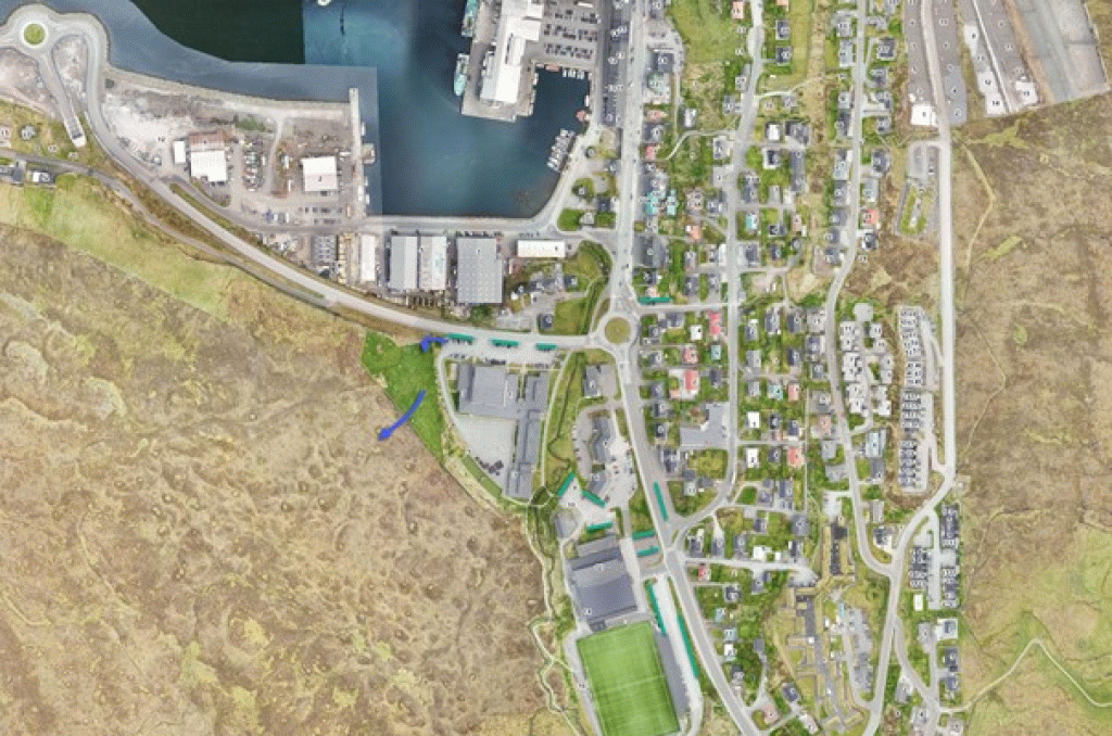
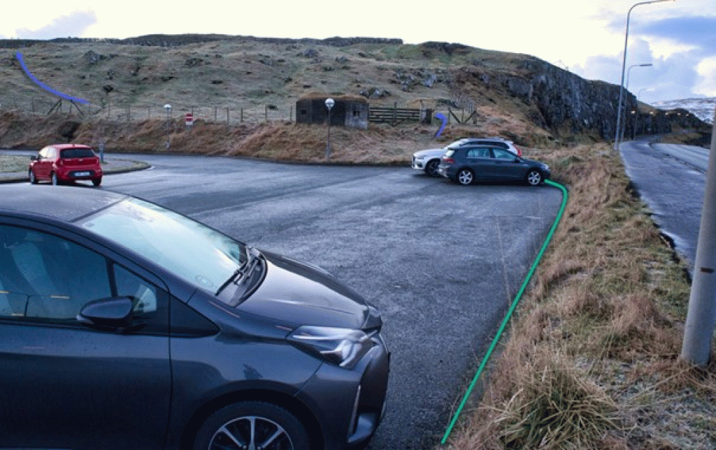
You then walk through the stone gate just opposite Skúlan við Løkin. From there, the route goes through another gate all the way out by Rókavegin, which leads you into the parking area in front of the school.
Toftir - Runavík
440 Skálafjarðarleiðin: https://www.ssl.fo/fo/ferdaaetlan/bygdaleidir/440-skalafjardarleidin/
444 Kambsdalur - Skálafjørður/Toftir: https://www.ssl.fo/fo/ferdaaetlan/bygdaleidir/444-kambsdalur-skalafjordur-toftir/
450 Tórshavn - Eysturoy (Tunnilsleiðin): https://www.ssl.fo/fo/ferdaaetlan/bygdaleidir/450-torshavn-eysturoy-tunnilsleidin/
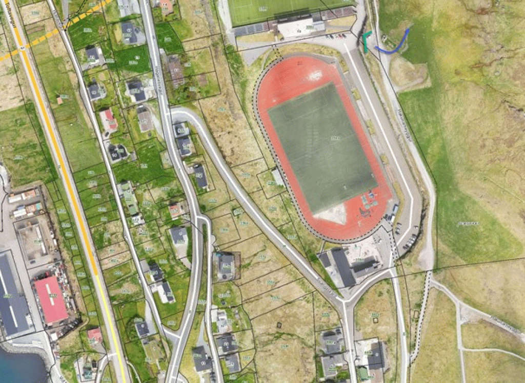
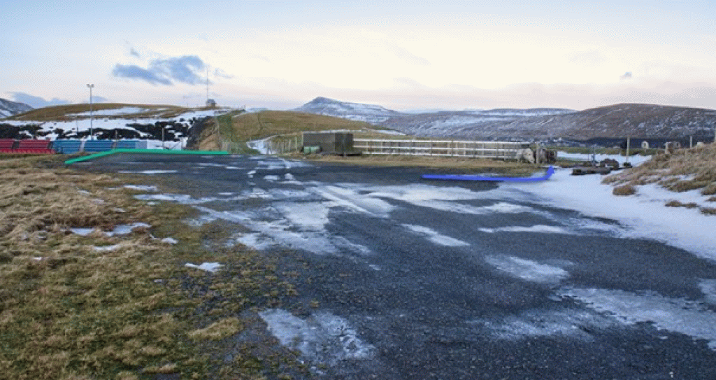
Parking, Toftir, Svangaskarð:
Decent parking in the sheepfold east of the football field in Svangaskarð—cite green lines. Follow blue arrows to the p
Runavík - Toftir
SSL:
440 Skálafjarðarleiðin: https://www.ssl.fo/fo/ferdaaetlan/bygdaleidir/440-skalafjardarleidin/
442 Glyvrar – Æðuvík – Rituvík: https://www.ssl.fo/fo/ferdaaetlan/bygdaleidir/442-glyvrar-aeduvik-rituvik/
444 Kambsdalur - Skálafjørður/Toftir: https://www.ssl.fo/fo/ferdaaetlan/bygdaleidir/444-kambsdalur-skalafjordur-toftir/
Toftir - Runavík
Runavík - Toftir
Facts
Duration
distance
Peak
Elevation
