


Tórshavn - Velbastaður


Link Copied!

-
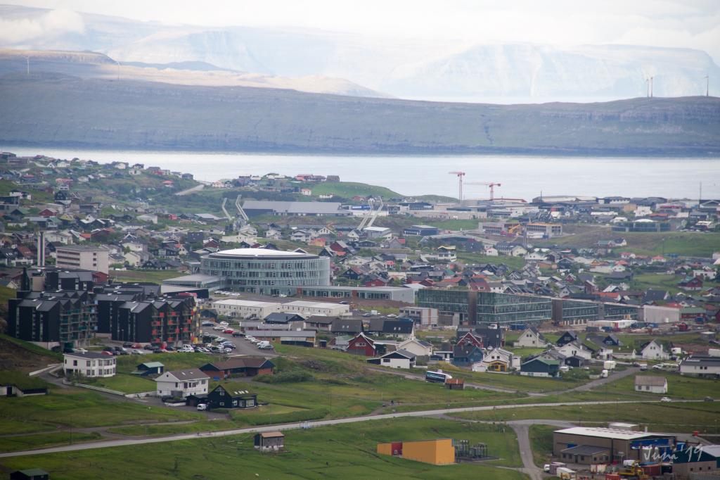 Veiw from the villagepath above Tórshavn. Photo: Óli Gardshodn
 -
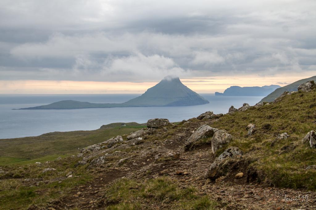 View from the villagepath of the island of Koltur. Photo: Óli Gardshodn
 -
 Village of Velbastaður. Photo: William Anderson
Talan er um ein sera lættan túr, ið nærum øll kunnu ganga
Rutan byrjar í Havnardali við bóndagarðin og høvuðsvegin oman fyri Velbastað, 390 m norðan fyri vegin til Velbastaðar, har ein lítil frákoyring er. Bilurin kann setast við parkeringsplássið beint við ánna.
Talan er um ein sera lættan túr, ið nærum øll kunnu ganga. Gøtan er ikki sjónlig allan vegin, so her má gangast eftir varðunum, ið eru í góðum standi. Hetta er serliga, eftir at komið er niðan á slætt úr Havn, har sum ruturnar til Velbastaðar og Kirkjubøar skiljast. Tískil er GPX-fíla næstan eitt krav fyri at vera vísur í ikki at villast, um mjørki kemur á.
Av tí at ikki er so nógv at síggja á sjálvari rutuni, kann tað vera eitt gott hugskot at gera eitt rend niðan á Reynsmúlalág, har talarastólurin frá fólkafundunum, sum vóru heilt fram til seint í 60-unum, framvegis sæst.
Rutan kann gangast báðar vegir, so ætt, sól og ferðslumøguleikar kunnu avgera, hvønn vegin tú gongur rutuna.
Rutan er løtt at finna í báðum endum.


Tórshavn - Velbastaður
Public transport
You can take the city bus between Velbastaður and Tórshavn.
Arriving by car
Parking, Tórshavn
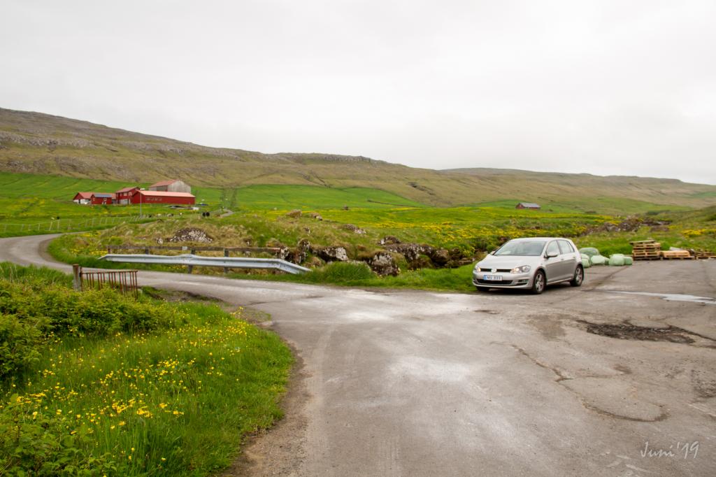
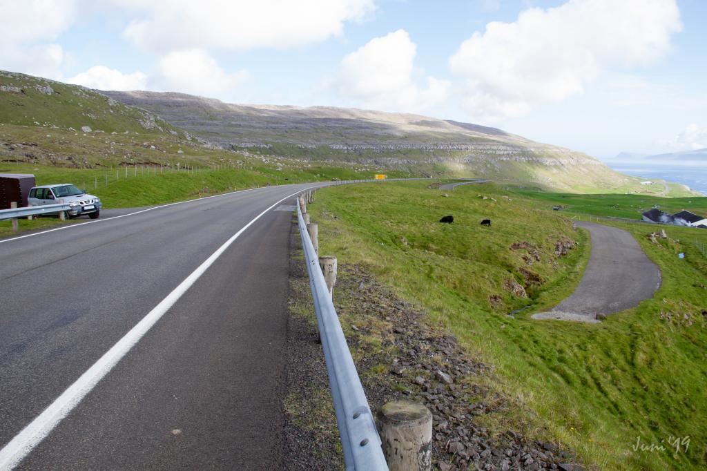
A public parking lot is by the river Sandá. (see photo)
-
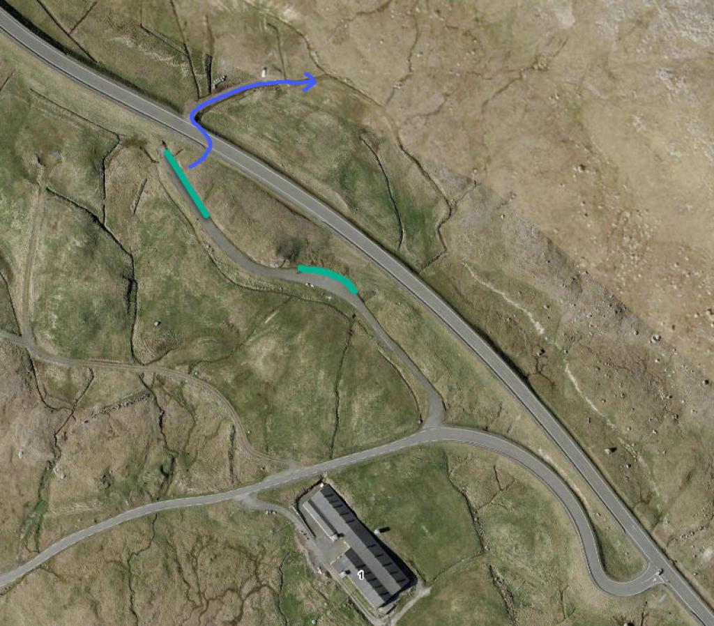
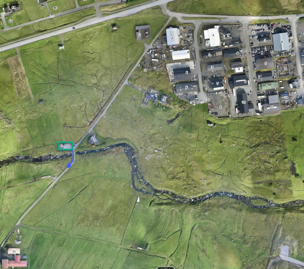 See green line for parking and blue line for starting point
 -
 parking, Tórshavn
 -
 Starting point, Tórshavn
 -
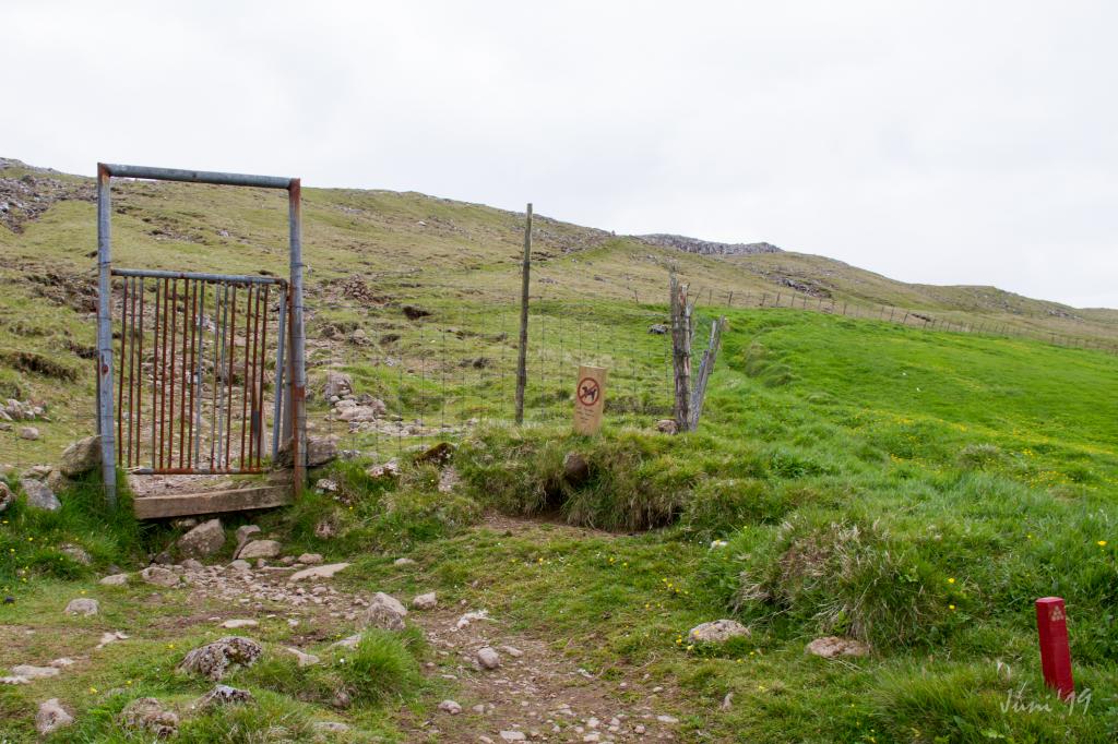 Starting point, first gate, Tórshavn
Velbastaður - Tórshavn
-
 See green line for parking and blue line for startingpoint
 -
 parking, Velbastaður
 -
 parking, Velbastaður
 -
 Starting point, Velbastaður
Tórshavn - Velbastaður
Velbastaður - Tórshavn
Fakta

Tíð

longd

Hægsta stað

Hæddarmetrar
 Suitable for children
 Medium
- The path is very easy to walk. A fallen fence is by the path, and the hills are small
Medium
- The path is very easy to walk. A fallen fence is by the path, and the hills are small
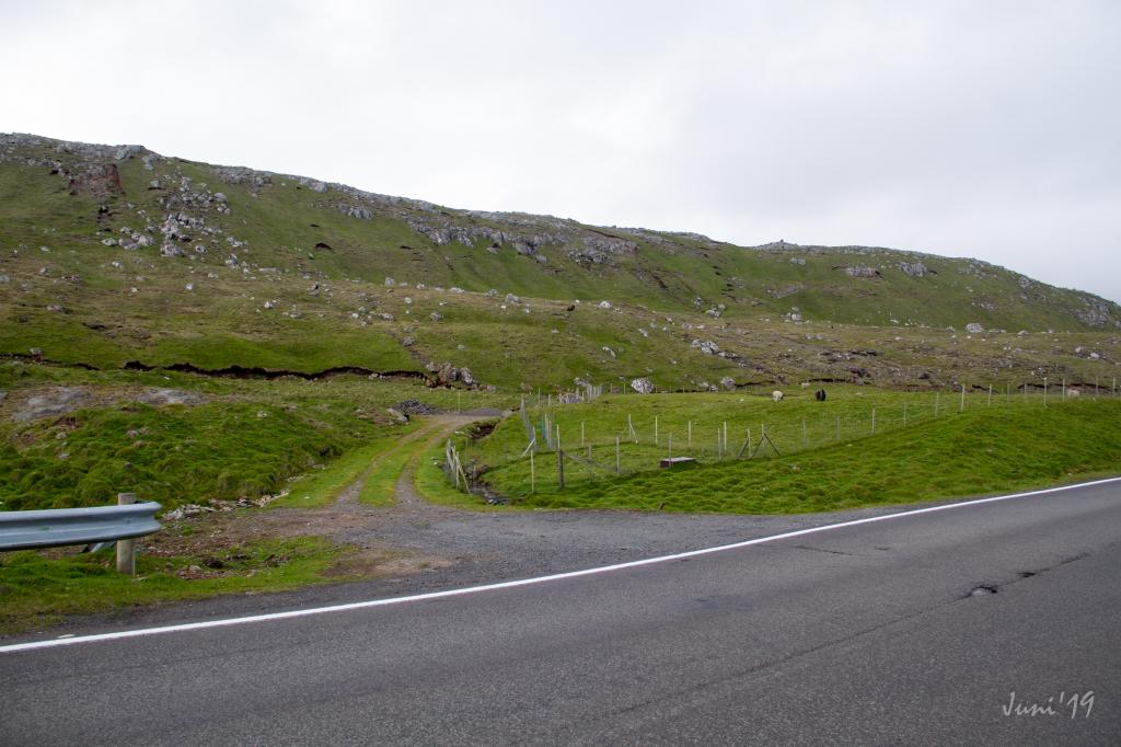
 In places the path is quite rocky, especially from Tórshavn up to level ground.
Otherwise the terrain is good for walking
In places the path is quite rocky, especially from Tórshavn up to level ground.
Otherwise the terrain is good for walking


