Víkarbyrgi - Sumba
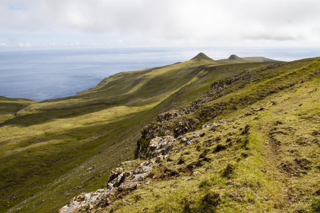
A beautiful hike that takes you through tranquil and lovely scenery. Throughout the hike you will have views of the distinctive white screes of Suðuroy
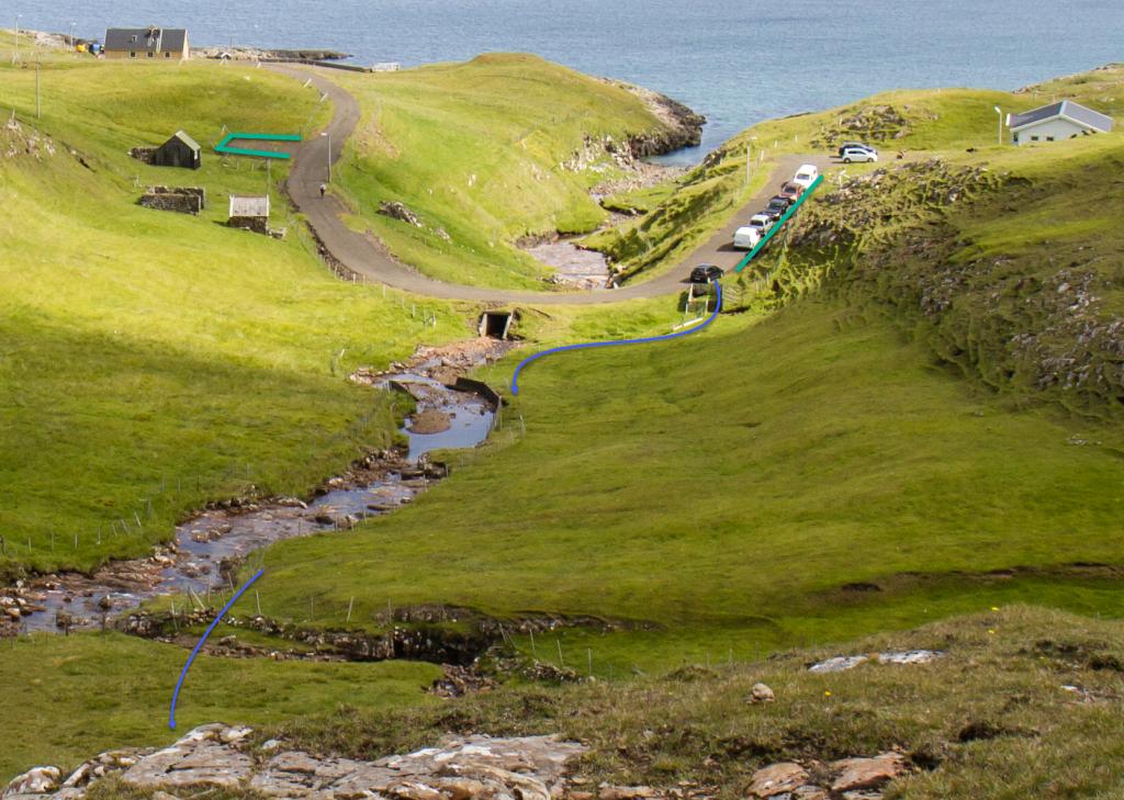
From Víkarbyrgi, the hike starts down by the bridge crossing the river Víkará. From there, walk out through the small sheep pen and up along the river to the fence, which you need to climb over.
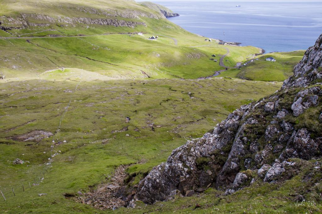
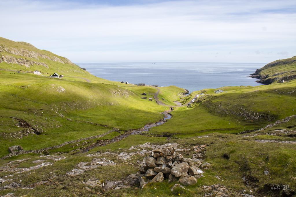
From there, go straight up to the first rise, where you will find the first cairn. From the cairn you have a lovely view over Víkarbyrgi, which before it was decimated by the Black Death in 1349 was a major village. This area, up to the waterfall below the hill Krílheyggur, is beautiful, a rock wall running along the broad river.
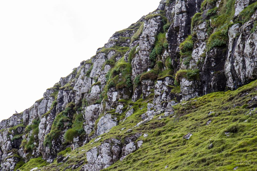
From here, continue on Moldstíggjur, a path through a crag, and go straight up to the pass Oyrnaskarð. The white screes, which cover almost the whole hillside east toward the crag Hornið lend a special feel to the ascent. These white screes on the south-eastern side of Suðuroy are quite unique. The best known are found a little further south, in the fields of Blæing. Blæing is an old word for rocks, and the white growth on these rocks is cork.
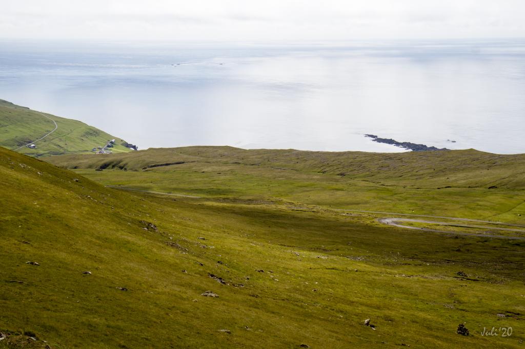
Having come south of Oyrnaskarð, the valley Bótin is grass-covered and easy to cross. Here too, you walk through several white screes. Just above the path, you will notice a unique rocky knoll, known as Trøllhúsið, the Troll House, which, when it is foggy, really does look like a real troll house. And it cannot be denied, the whole area seems enchanted.
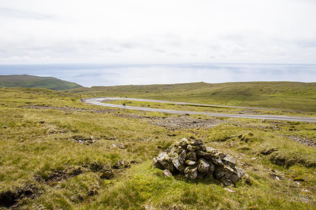
On the route through the valley, you need to climb over a low fence. Having come south of the ridge under the slope Akslarendi, follow the cairns down to the road to Sumba.
The hike can be taken in either direction. Going in the direction of Víkarbyrgi, though, is far more beautiful as you commence your hike at an elevation of 290 metres—that is, if you park your car by the main road above the village of Sumba.
Víkarbyrgi - Sumba
Public transport
There is no bus connection to where the path starts in Víkarbyrgi or above Sumba.
Arriving by car
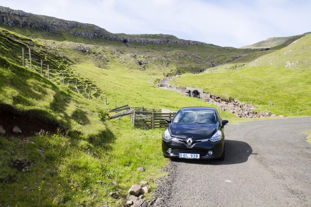
Parking, Víkarbyrgi
Good parking is found close to the sheep pen at the bottom of the village, by the bridge crossing the river Víkará (see the green lines). From here, go through the gate in the sheep pen and continue along the river (see the blue line).
Sumba - Víkarbyrgi
Public transport
There is no bus connection to where the path starts in Víkarbyrgi or above Sumba.
Arriving by car
Parking, Sumba
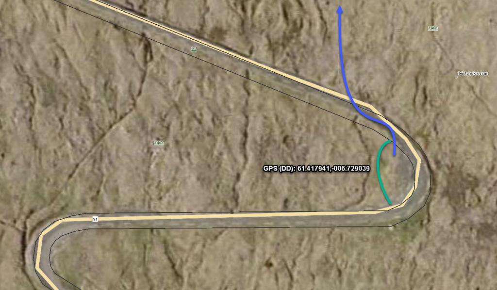
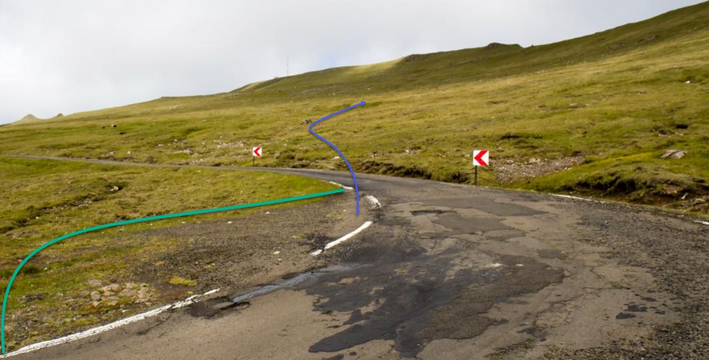
You can park your car above the village of Suma, at an elevation of 290 metres, where the main road bends, quite a distance from the village (see the green line). From here, follow the cairns due north (blue line.)
Víkarbyrgi - Sumba
Sumba - Víkarbyrgi
Facts
Duration
distance
Peak
Elevation
